 |
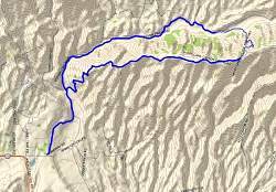
Topo map of Happy Camp. Contrary to what the map shows, the northern road is called the Happy Camp Canyon Trail and the southern trail is the Middle Range Fire Road.
|
|
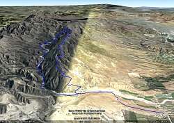 |
Google Earth view of Happy Camp, looking almost due east. When this satellite photo was taken, could there have been a square cloud overhead casting that very staight shadow ?-)
|
|
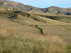 |
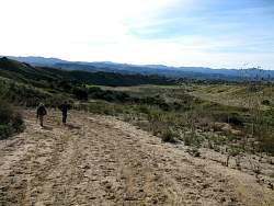
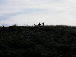
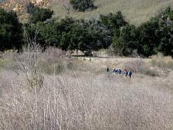
From near the start, we can see hikers in the distance
|
|
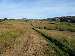 |
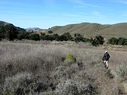
The trail not too far from the beginning
|
|
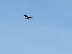 |
A bird of prey hovers over the meadow
|
|
 |
The sand on this part of the Middle Range Fire Trail is pretty loose...
|
|
 |
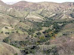
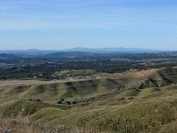
...but there's a great view into the valley
|
|
 |
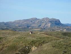
Is that Boney Mountain in the distance?
|
|
 |
Looking north; we'll be coming back on the trail down there
|
|
 |
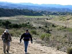
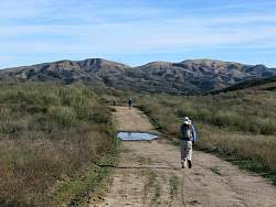
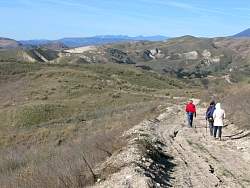
Hikers up ahead
|
|
 |
It's a really clear day so we have a great view of the Channel Islands
|
|
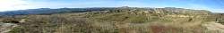 |
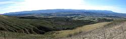
180 degrees of the Middle Range Fire Trail, looking south
|
|
 |
There's snow on the mountains to the north
|
|
 |
The Middle Range Fire Trail
|
|
 |
Looking west we can see South Mountain in the distance
|
|
 |
The Middle Range Fire Trail
|
|
 |
Looking south from the Middle Range Fire Trail
|
|
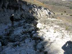 |
The hill down to the Happy Camp Canyon Trail is steep and very rutted
|
|
 |
The main group of hikers, the Ranch Simi Trailblazers, is up ahead
|
|
 |
However, we're still a ways behind
|
|
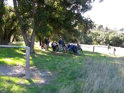 |
Time for a snack
|
|