 |
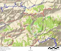
Topo map that shows our route (dotted light blue line), starting at the upper left. Trails are shown in red, blue and yellow
|
|
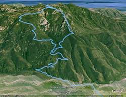 |
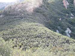
Google Earth view of our route, from the north. The Western Ridge is on the right and the Upper Cabin (Gully) Trail is on the left
|
|
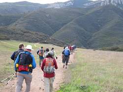 |
Crossing the Satwiwa area with the Boney Mtn Summit in front of us
|
|
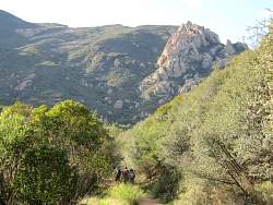 |
On Danielson Road. Our route to the top is through the rocky cliffs near the top right of the photo
|
|
 |
Old Boney Trail
|
|
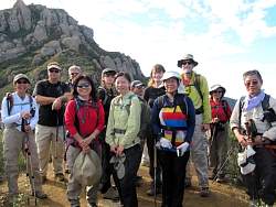 |
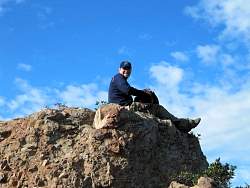
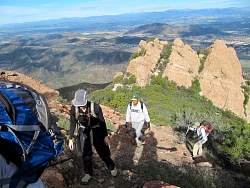
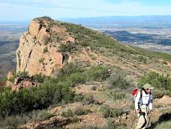
Our first stop on the Western Ridge Trail. We'll be climbing through the rocks behind us.
|
|
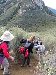 |
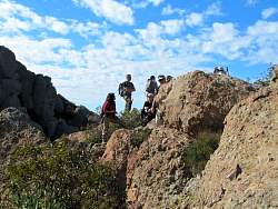
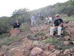
This section was steep and a little loose.
|
|
|
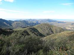 |
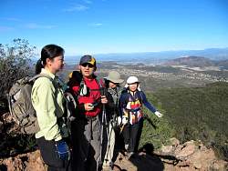
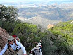
View to the south on this beautiful clear day
|
|
|
|
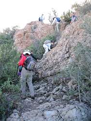 |
The first little rock climb, from below...
|
|
 |
... enjoying the challenge...
|
|
 |
... and the view from above.
|
|
|
|
 |
P likes to take the route straight up the rock face
|
|
|
|
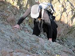 |
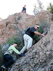
P climbs a rock face
|
|
|
|
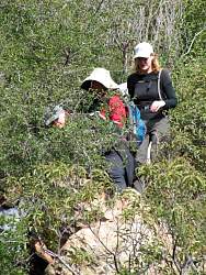 |
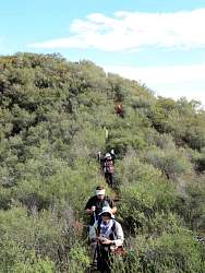
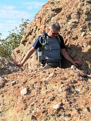
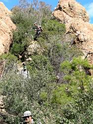
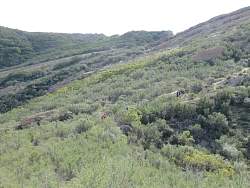
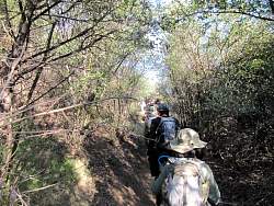
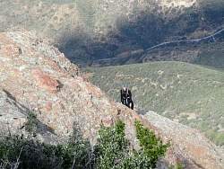
There's a narrow trail in all those bushes!
|
|
|
|
|
|
|
|
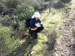 |
Catching one of the few early-blooming flowers
|
|
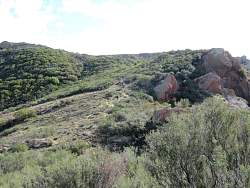 |
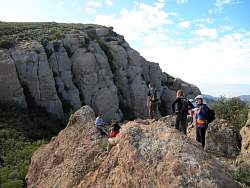
All the hard climbing is behind us when we reach this plateau near the top
|
|
|