 |
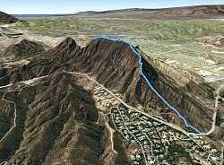
| Google Earth view of the hike. We started at the lower right corner, on Kanan Road. |
 |
 |
 |
 |
 |
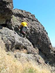
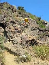
| This is the steepest section (on the main trail) |
 |
 |
 |
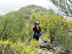
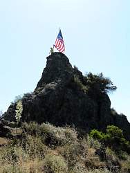
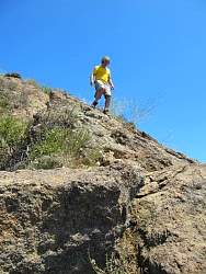
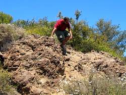
| Climbing up to the flag that appeared a couple of months ago |
 |
 |
 |
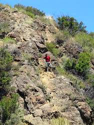
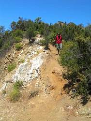
| Coming back down the steepest section |
 |
 |
 |
 |
 |
 |
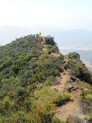
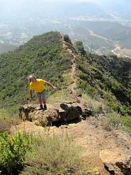
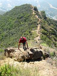
| The ridgeline trail joins the dirt road |