Topo map of the hike, in cyan. We started at Will Rogers State Historic Park (bottom) and went counter-clockwise. Other trails are shown in blue, red and yellow.
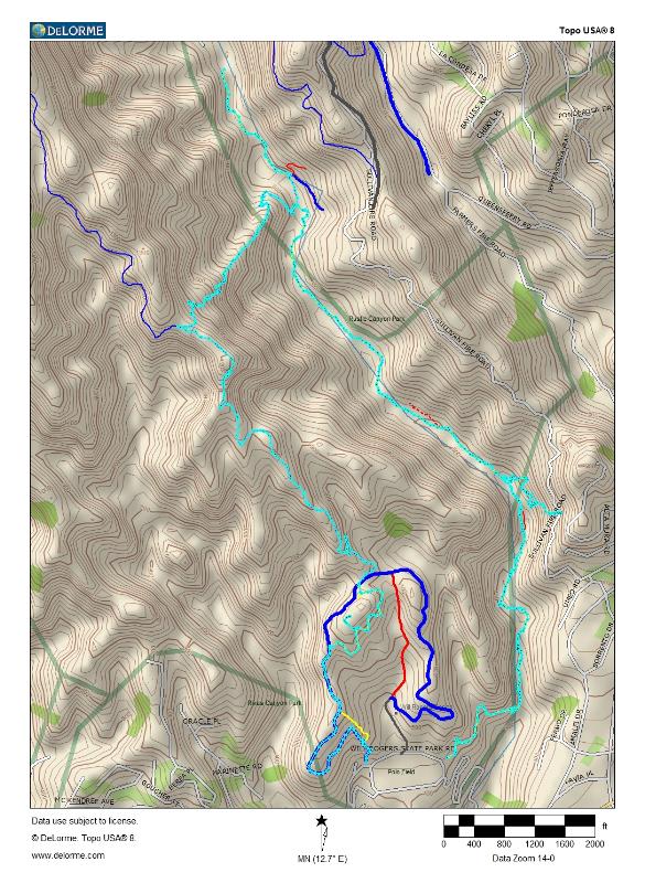
Image 1 of 47
Topo map of the hike, in cyan. We started at Will Rogers State Historic Park (bottom) and went counter-clockwise. Other trails are shown in blue, red and yellow.
|
||
|
|
Image 1 of 47 |
|
|
Image 1 of 47
|
