 |
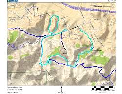
Topo map of our route, in light blue. Other trails are dark blue. We went around both loops in the clockwise direction.
|
|
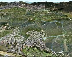 |
Google Earth view of our hike route, looking from the north. We went around both loops in the clockwise direction.
|
|
 |
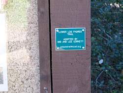
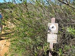
Las Padres Trail trailhead
|
|
|
|
|
 |
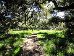
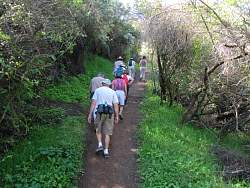
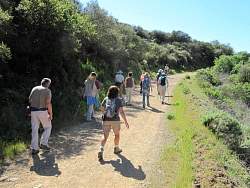
Some people call this area "Sherwood Forest."
|
|
|
|
|
|
|
|
 |
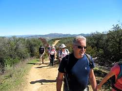
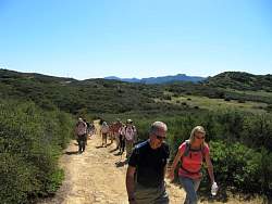
Climbing up to Las Padres Fireroad
|
|
 |
Las Padres Fireroad
|
|
|
|
 |
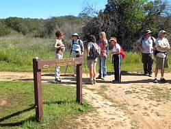
The west end of Los Robles Trail East
|
|
|
|
|
|
|
 |
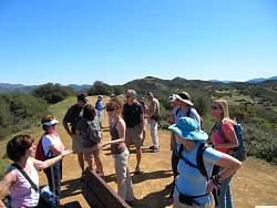
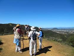
On the Scenic Loop Trail
|
|
|
 |
To the west, the Los Robles Trail (West) switchbacks, AKA Space Mountain.
|
|
 |
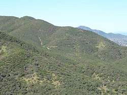
The Oaks Mall down below us
|
|
|
|