 |
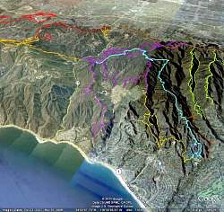
Our route through Topanga State Park, shown in light blue, as seen from Google Earth. We started at the lower-right, in Will Rogers State Historic Park.
|
|
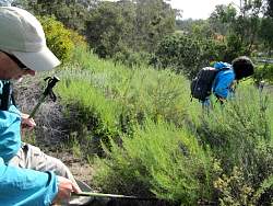 |
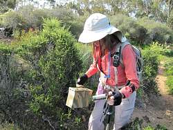
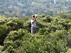
Searcing for the first cache
|
|
 |
The cache is handily in hand!
|
|
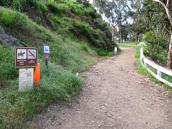 |
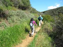
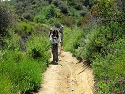
Starting up towards Rogers Road on the Inspiration Point Trail
|
|
 |
The next cache is an ammo can
|
|
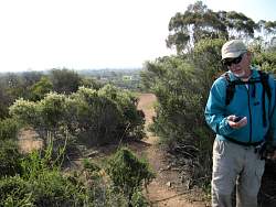 |
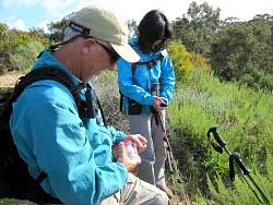
Checking the coordinates
|
|
 |
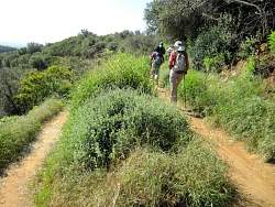
Starting up Rogers Road and on the Backbone proper
|
|
|
 |
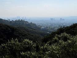
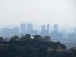
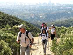
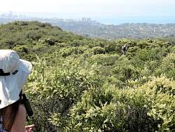
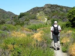
Rogers Road has great views of the city below us
|
|
|
|
|
|
|
|
 |
Searching for a geocache on a side trail
|
|
 |
Got it!
|
|
|
|
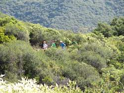 |
Trail runners coming up
|
|
|
 |
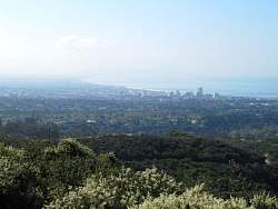
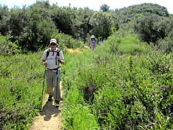
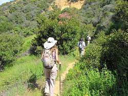
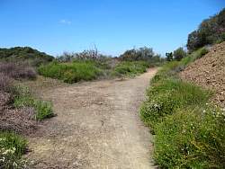
Still on Rogers Road
|
|
 |
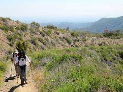
The trail gets a little narrower higher up
|
|
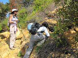 |
It took a long time to find, but the cache turned out to be in this hole, covered with mud
|
|
|
|
|
|
 |
Rogers Road Trail is quite rutted in some steeper places
|
|
 |
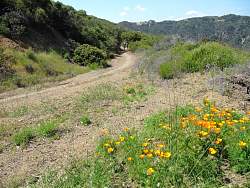
The trail ahead!
|
|
|
 |
State Parks has done trail clearing down to this point on Rogers Road
|
|
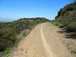 |
Towards the top, Rogers Road has become a road again after years and years of being a trail
|
|
|