|
Google Earth view of our hike (light blue), looking south. Other nearby trails are red or orange.
|
|
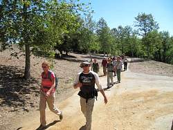 |
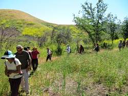
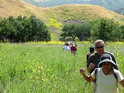
Starting off from De Anza Park in Calabasas
|
|
 |
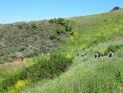
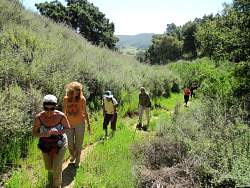
The Las Virgenes Fireroad (aka North Grasslands Trail) is getting a little overgrown with mustard
|
|
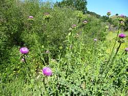 |
There's thistle here, too!
|
|
|
|
 |
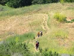
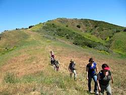
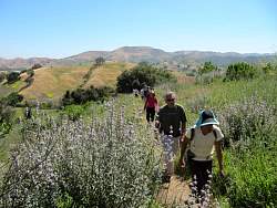
The meadow section at the northend of the Talepop Trail is also overgrown, but the path is easy to see.
|
|
 |
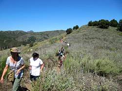
A little higher up on Talepop, the trail is clear of overgrowth.
|
|
 |
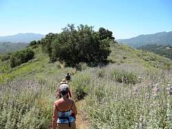
The purple sage isn't quite in full bloom yet
|
|
|
|
|
|
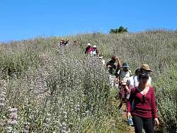 |
Lots of purple sage on the Talepop Trail!
|
|
|
|
|
|
|
|
|
|
 |
The south end of the Talepop Trail where it meets Liberty Canyon Fireroad
|
|
 |
Liberty Canyon Fireroad
|
|