 |
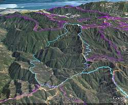
Our route in blue, as visualized with Google Earth. The view is looking south. Other trails are other colors. Hiking distance was 8.5 miles with about 1700' of climbing.
|
|
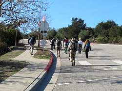 |
Heading up Reseda Blvd to the trailhead
|
|
 |
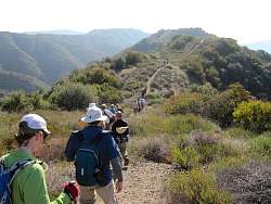
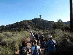
Starting up the "Top of Reseda" Fireroad 29, heading for Dirt Mulholland
|
|
 |
On Dirt Mulholland, headed east
|
|
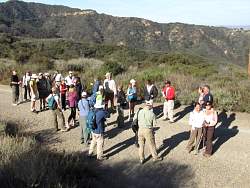 |
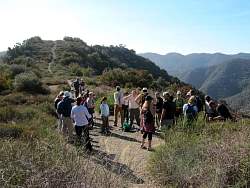
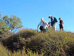
Waiting at the bottom of Upper Bent Arrow for everyone to catch up
|
|
 |
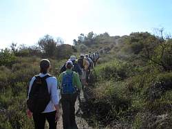
Starting up Upper Bent Arrow
|
|
|
|
|
|
|
|
 |
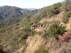
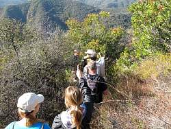
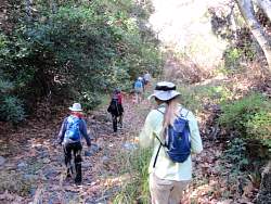
Now we're on an unmaintained trail, I think it's called Farmer Ridge Fireroad, even though it's clearly no longer a road
|
|
|
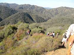 |
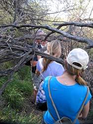
We turned off Farmer Ridge Fireroad and headed for Rustic Canyon, down what turned out to be a very sketchy trail!
|
|
|
|
|
|
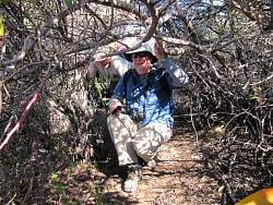 |
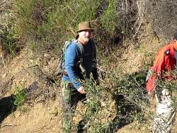
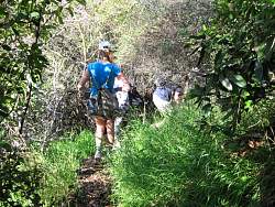
This 'trail' had lots of very low overhead
|
|
|
|
|
 |
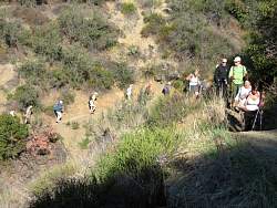
Towards the bottom, it opened up a bit
|
|
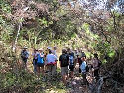 |
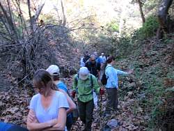
In Rustic Canyon, waiting at the bottom of the 'trail' for the rest to fight their way through
|
|
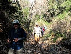 |
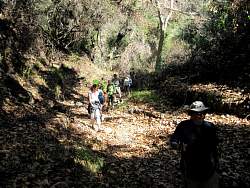
Rustic Canyon, hiking through the dry streambed
|
|
|
 |
We were constantly on the lookout for poison oak, but saw very little if any.
|
|
|
|
|
|