 |
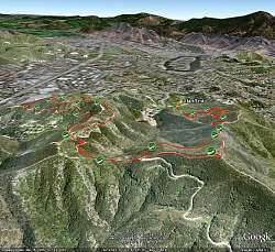
View of our route (red line) as seen with Google Earth, looking south-east. Our start location is indicated with the yellow push-pin. Locations of geocaches we visited along the way are shown in green.
|
|
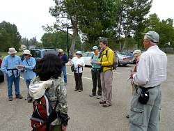 |
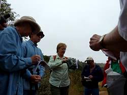
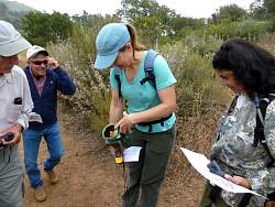
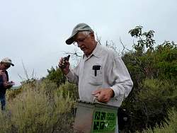
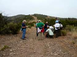
Looking over the tools we have to help us find geocaches before we start out on the trail.
|
|
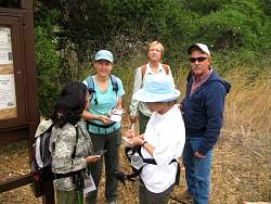 |
The first geocache we found, right at the trailhead!
|
|
|
|
 |
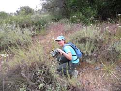
Shelly sees something hiding in the brush...
|
|
 |
Bingo! Second find of the day
|
|
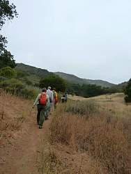 |
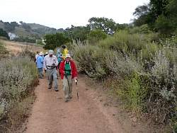
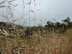
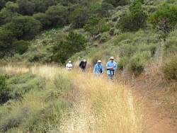
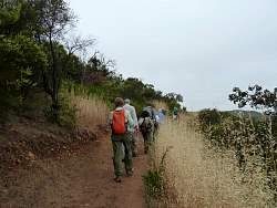
Heading up the Triunfo Canyon Trail
|
|
 |
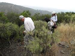
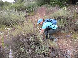
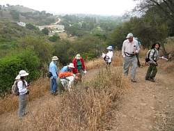
Searching for the second geocache on the route
|
|
 |
Checking out the swag in the cache container
|
|
|
|
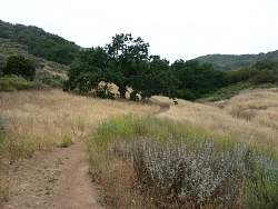 |
The Triunfo Canyon Trail ahead of us
|
|
|
|
|
 |
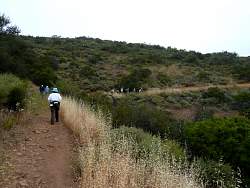
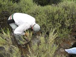
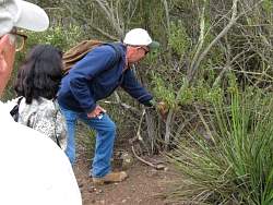
Looking for a cache at this switchback
|
|
|
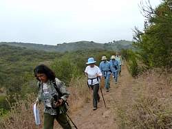 |
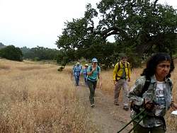
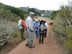
Still on the Triunfo Canyon Trail
|
|
 |
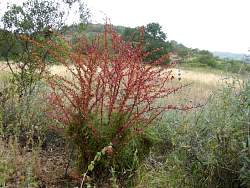
What's this?
|
|
 |
The cache is hidden in the end of a piece of wood!
|
|
|
|
|
|
 |
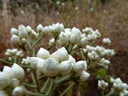
Going after a "veggie-hide" cache
|
|
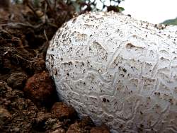 |
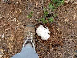
A giant puffball mushroom next to the trail
|
|
|
|
|
|
|
 |
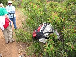
This geocache container is an "ammo can," a surplus military box.
|
|
 |
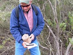
Looking to see what's in the cache
|
|
 |
Now we're on the Brookview Trail
|
|