 |
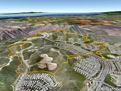
Google Earth view of our route, looking from the east, towards Camarillo. We started at Dos Vientos Community Park, at the end of the "stem" towards the lower-right.
|
|
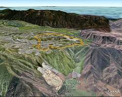 |
Google Earth view of our route, from the north-west over Camarillo, with Boney Mountain in the distance.
|
|
|
|
|
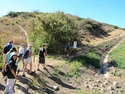 |
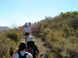
This is the steepest part of the route, so we went up it to be easier on our knees.
|
|
 |
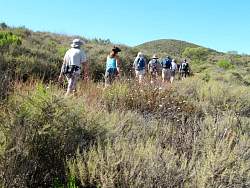
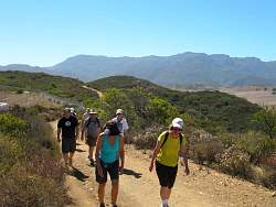
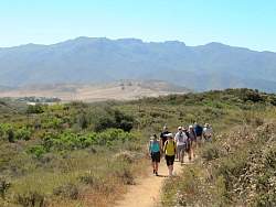
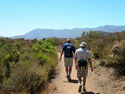
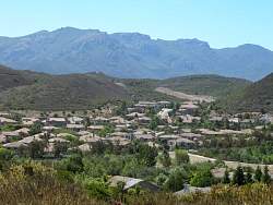
Conejo Mountain in the background.
|
|
|
|
|
|
|
|
|
 |
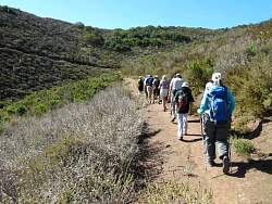
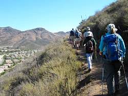
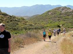
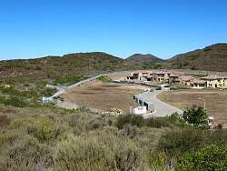
We get some glimpses of some huge houses!
|
|
|
|
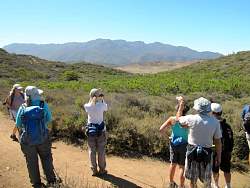 |
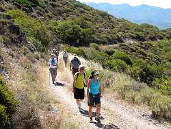
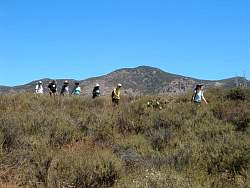
Pausing to admire Boney Mountain to the south-east
|
|
|
|
|
 |
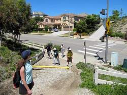
Who chose the color forthat fence?
|
|
|
|
|
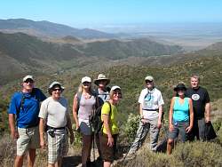 |
Overlooking Long Grade Canyon and the Oxnard Plain
|
|
|
 |
Taking a break at the twin ponds
|
|
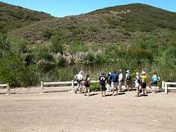 |
It's hard to see the water for all the tall grass growing at the edge
|
|
 |
Up higher, a little further away, we have a better view of the ponds
|
|
|
|
 |
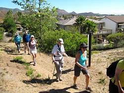
The neighborhood is looking nicer now that the trees are growing up to hide the houses somewhat
|
|
|
|
|
|
 |
That's Conejo Mountain in the background again.
|
|
 |
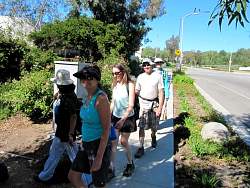
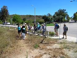
Almost back to Dos Vientos Community Park where we started
|
|
|
|