 |
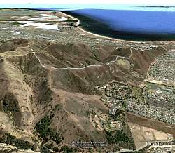
View of our hike, shown in Google Earth, looking from the north. Our route is a very light blue line.
|
|
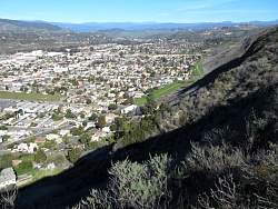 |
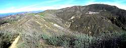
Looking north-west into the valley below
|
|
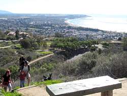 |
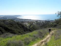
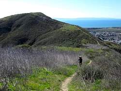
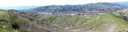
Looking south-east towards Point Hueneme
|
|
|
|
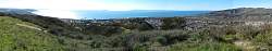 |
A 180-degree view
|
|
 |
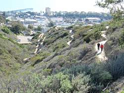
Looking back down the trail
|
|
 |
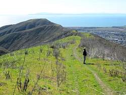
Looking ahead, up the trail
|
|
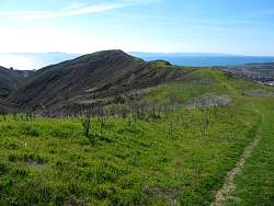 |
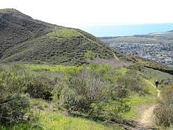
Looking back again. As we get higher, we get a better and better view of the Channel Islands. It's incredibly clear today!
|
|
 |
Starting down from the top
|
|
 |
Panoramic view from the top, looking west
|
|
 |
We're high enough to see the whole of Santa Cruz Island
|
|
 |
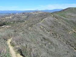
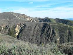
Looking back up the trail, we went almost to the towers at the upper-right.
|
|
|
|
 |
We saw this road to the east, and a connector trail, but we didn't know where it came out. Turns out it comes out a long way from where we started.
|
|
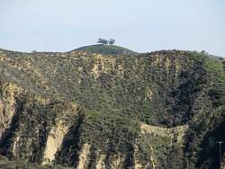 |
From lower down we can see the famous Two Trees in the distance
|
|
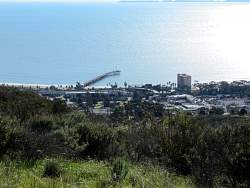 |
The wharf down below
|
|
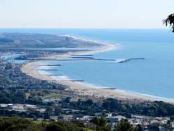 |
The beaches to the south-east
|
|
|
 |
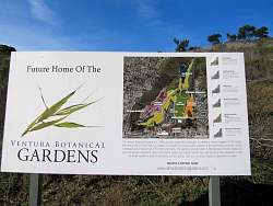
View of the Ventura Botanical Gardens Demonstration Trail, opened in October 2012.
|
|
|
|
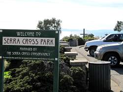 |
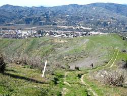
Back to the start
|
|
|
|