 |
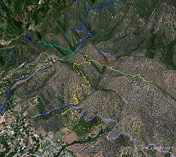
3D view of the trails from Google Earth, looking north-west. The blue trail at the bottom is Shelf Rd; yellow is the new Fox Canyon Trail; light green is the rejuvenated Foothill Trail; orange is the Fuel Break Road connector trail; medium green is the Foothill Trail west of Pratt Trail (blue).
|
|
 |
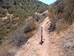
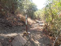
The new kiosk at the Fox Canyon Trail trailhead on Shelf Road
|
|
 |
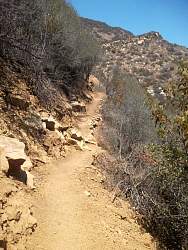
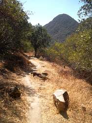
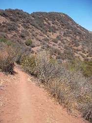
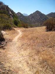
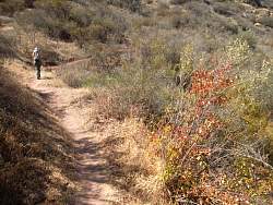
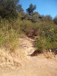
Starting up the Fox Cyn Trail - it's pretty steep, narrow and loose on the outside
|
|
 |
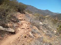
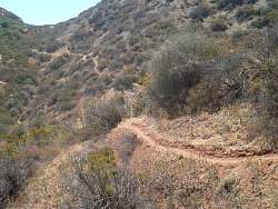
A huge amount of work has gone into carving this trail out of this rugged hillside
|
|
|
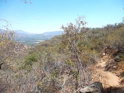 |
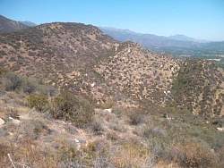
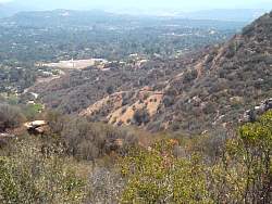
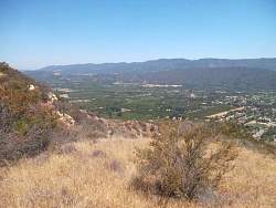
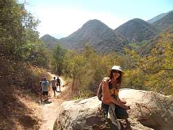
We're getting up high enough to see some of the Ojai Valley in the distance
|
|
 |
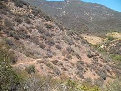
There's a distinct trail on the ridge on the left, slanting up towards the center of the picture. It turned out to be the revitalized Foothill Trail
|
|
|
 |
We're nearing the end of the Fox Canyon Trail; that's the Foothill Trail where the Fuel Break Road connector forks off from it
|
|
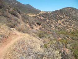 |
Now we're on the Foothill Trail. You can see the fuel break in the distance.
|
|
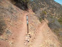 |
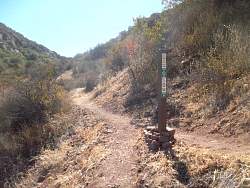
Fuel Break Road ahead, Foothill Trail to the right
|
|
 |
The other side of the sign in the previous picture
|
|
 |
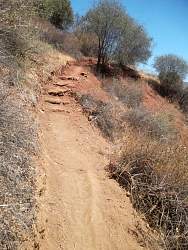
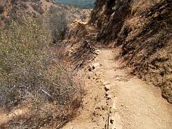
This part of the Foothill Trail is narrow with a steep drop-off on the side
|
|
|
|
 |
It's a pretty trail, but also narrow just east of the Fox Canyon Trail
|
|
 |
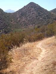
We can see some of the Fox Canyon Trail switchbacks from here
|
|
 |
Almost to the east end of the Foothill Trail, looking back to the west
|
|
 |
To the south, the Ojai Valley
|
|
 |
End of the trail
|
|
 |
Heading back, we can see the Foothill Trail disappear over a saddle in the distance
|
|
 |
Back to the fork that connects to Fuel Break Road
|
|
 |
Straight ahead is Foothill Trail heading for Pratt Trail, with Fox Canyon Trail around the switchback to the left. We continue on Foothill Trail
|
|
 |
Foothill Trail between Fox Canyon and Pratt is broader, not as steep and gets much more use
|
|
 |
In the distance, Foothill Trail on the west side of Pratt Trail
|
|
|
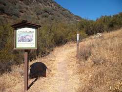 |
Looking back up the Foothill Trail where it enters the Valley View Preserve
|
|
 |
The Foothill Trail (straight ahead) enters the Pratt Trail on which I'm standing. There is no sign to mark its location.
|
|
 |
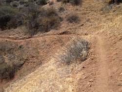
Seen on the Pratt Trail
|
|
|