 |
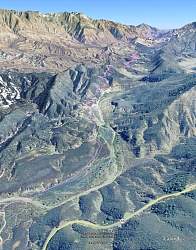
View of our route, shown in pink and looking east, courtesy of Google Earth. Highway 33 can be seen at the bottom.
|
|
 |
The first very short leg is on an old paved road that leads to an abandoned campground.
|
|
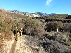 |
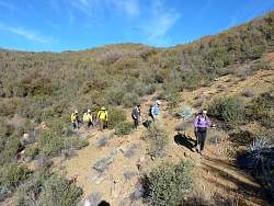
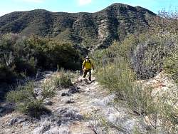
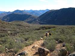
On the trail
|
|
 |
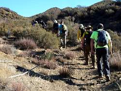
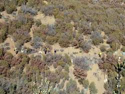
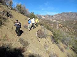
Looking backwards (west) where we paused to find a geocache, one of about 30 along the way.
|
|
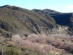 |
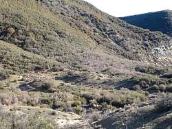
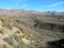
The trail ahead climbs above the cliff at the edge of the river
|
|
|
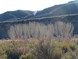 |
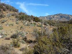
Leafless trees in the river
|
|
|
|
 |
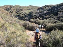
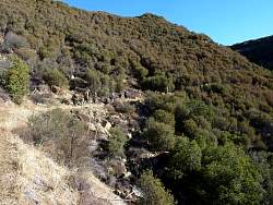
As we climb, the trail becomes somewhat overgrown
|
|
 |
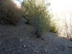
The trail is narrower here, with a lot of exposure
|
|
|
|
|
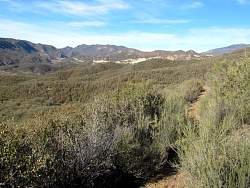 |
After cresting the hill, we can start to see Piedra Blanca in the distance.
|
|
|
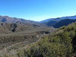 |
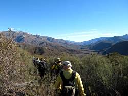
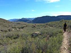
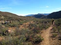
Looking east down the Sespe River valley
|
|
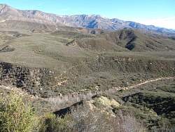 |
The trail ahead crosses a side stream and climbs back out of the valley
|
|
 |
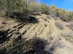
The trail here is narrow and loose. You don't want to slide down here!
|
|
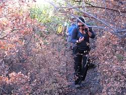 |
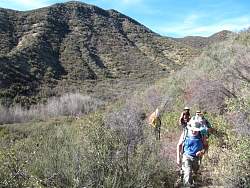
The trail is quite overgrown in some places. The first 2-3 miles from each end were very wide, but not in the middle.
|
|
 |
A switchback
|
|
|
|
|
|
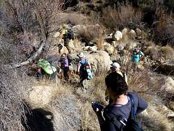 |
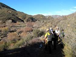
Finding another geocache
|
|
 |
The trail down is somewhere on that hill behind us
|
|
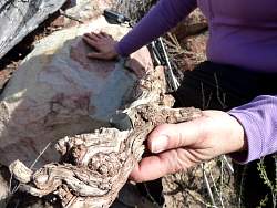 |
This geocache was drilled into a piece of wood!
|
|
|
 |
The path ahead is much more level, but there are big rocks everywhere. Very pretty!
|
|
|
 |
This geocache was a few dozen feet from the trail.
|
|