 |
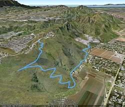
Our route, as seen from Google Earth from the north-east. Santa Rosa Valley is on the right side, Montclef Ridge in the center, and Wildwood to the left of that.
|
|
 |
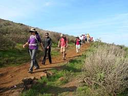
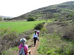
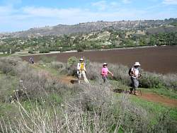
Heading to the (upper) Santa Rosa Trail from the trailhead on Wildwood Avenue.
|
|
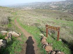 |
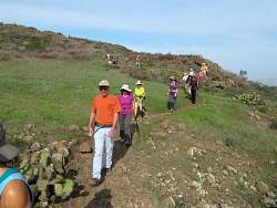
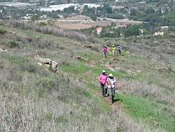
Where the Shooting Star Trail descends from the Santa Rosa Trail
|
|
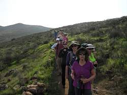 |
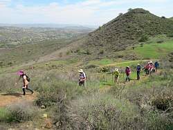
There were 19 of us on the hike, including the photographer
|
|
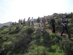 |
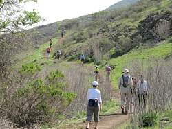
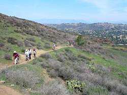
Descending the Shooting Star Trail
|
|
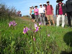 |
We find some shooting stars in bloom near the Shooting Star Trail!
|
|
|
|
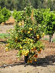 |
At the turn-around point, there we see a tiny orange tree loaded with fruit
|
|
 |
Heading back on the Lower Santa Rosa Trail, sometimes known as the Baseline Trail
|
|
|
|
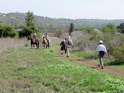 |
We passed more equestrians than other hikers or mountain bikers!
|
|
 |
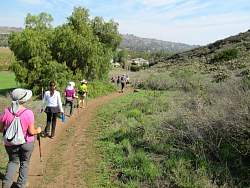
The Lower Santa Rosa Trail has some rolling hills at the edge of the Santa Rosa Valley.
|
|
 |
The Lower Santa Rosa Trail alternates between running along the edge of farmers' fields and behinds some nice houses
|
|
 |
Climbing back up the Shooting Star Trail
|
|
 |
Back to the Santa Rosa Trail
|
|
 |
Almost back to the cars on Wildwood Avenue.
|
|
|
|