 |
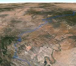
Today's ride was from Jerome (lower left) to Williams, on Rte 66 and almost to I-40, at the top right. This is a Google Earth visualization, looking north-west.
|
|
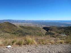 |
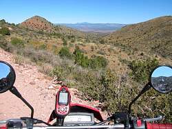
The view from just above Jerome
|
|
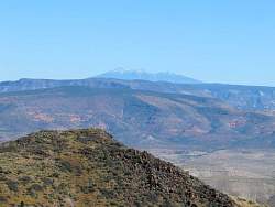 |
In the distance, San Francisco Mountain, just north of Flagstaff
|
|
 |
The view from just above Jerome
|
|
 |
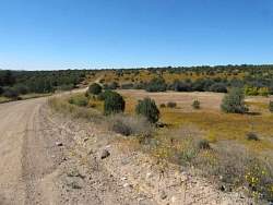
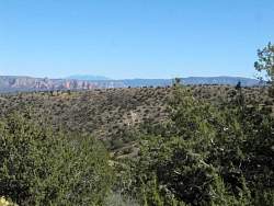
On the route to Williams, we can see San Francisco Mtn in the distance.
|
|
 |
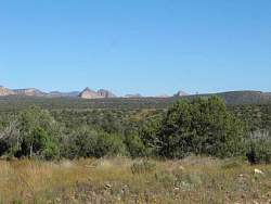
A closer view...
|
|
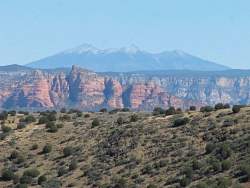 |
...Even closer
|
|
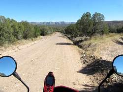 |
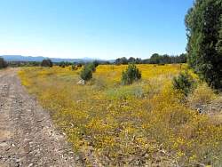
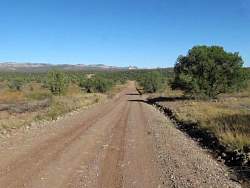
The road here is well-travelled and in really good shape.
|
|
|
|
|
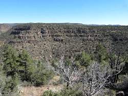 |
Evidence of the volcanic past
|
|
|
|
|
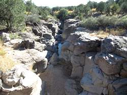 |
The road crossed this stream, looking west...
|
|
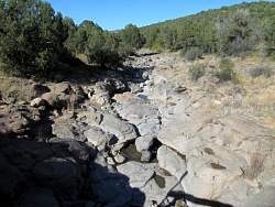 |
...and looking east
|
|
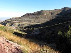 |
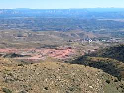
Back at Jerome, it looks like they're still mining here
|
|
|
|