|
Topo map of our hike. The Canyonview and Grotto Trails are the major yellow lines. The heavier blue line near the top is the Sandstone Peak Trail and the thin blue line on the right is the Yerba Buena section of the Backbone Trail.
|
|
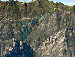 |
Google Earth view of our hike, shown in light blue. The yellow line at the top is the Sandstone Peak Trail. The red line is the Chamberlain Trail in the Boney Wilderness.
|
|
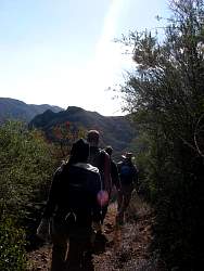 |
Hiking down the Canyonview Trail
|
|
 |
From the Canyonview Trail, looking down towards the Grotto
|
|
 |
Last year there was so much water in this stream that we couldn't cross it. Now it's dry!
|
|
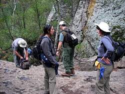 |
Arriving at the Grotto
|
|
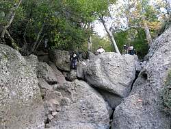 |
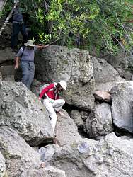
Climbing down the boulders around the Grotto. With almost no water in the stream, it was much easier to explore
|
|
|
|
|
|
 |
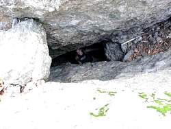
Going in and coming out of the small entrance to the grotto
|
|
 |
Mike looks up from the grotto
|
|
 |
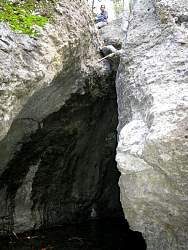
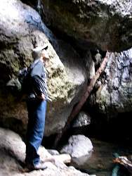
Looking at the large entrace from inside the grotto
|
|
 |
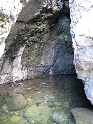
Inside the grotto
|
|
 |
Looking at the small entrance from inside the grotto
|
|
 |
Robert in the grotto, seen with natural light
|
|
 |
Robert in the grotto, illuminated by flash
|
|
 |
Inside the grotto
|
|
 |
Looking down the boulders to the next level
|
|
|
 |
The water is very clear here
|
|
|
|
|
|
|
|
 |
This might have been the biggest waterfall we found!
|
|
|
|
|
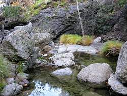 |
Several levels down from the top, the stream was much more tranquil
|
|
|