 |
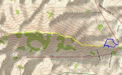
Topo map of the Ladyface Trail. Blue lines are 4x4 and dirt roads, the yellow line is the ridgeline trail up the spine of Ladyface.
|
|
 |
Google Earth view of Ladyface from the east. The trail up the ridgeline is shown in light blue.
|
|
 |
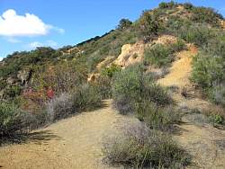
Looking east back down the trail, from not very far up
|
|
 |
You need a leg up on parts of this trail
|
|
|
 |
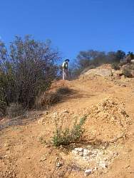
A steep and loose part
|
|
|
|
 |
Looking back down the steep loose part
|
|
|
 |
Approaching the steepest section
|
|
 |
Starting up the steep part. Fortunately it's only about 100 feet long
|
|
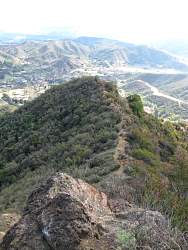 |
Looking back down from the steepest part
|
|
 |
The trail goes below the base of the nearest hill and then behind the next one
|
|
 |
Some people climb to the top of this hill, but not us!
|
|
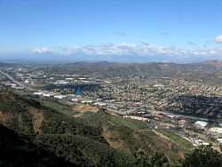 |
Looking northwest from Ladyface
|
|
 |
Looking southwest from Ladyface
|
|
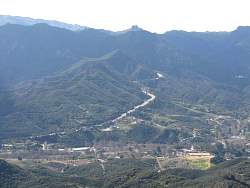 |
Looking south down Kanan Road from Ladyface
|
|
 |
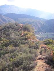
The trail here IS the ridgeline
|
|
 |
Looking north from Ladyface at Simi Peak in the distance
|
|
 |
The end of the trail, Steve finds the geocache
|
|
 |
Looking up from the end of the trail
|
|
 |
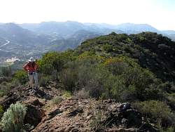
Looking right from the end of the trail
|
|
|
 |
The trail back is along that ridgeline somewhere!
|
|
 |
The highest hill, in the middle, is called Gods Eye View
|
|
 |
It's still a long way back to the bottom
|
|
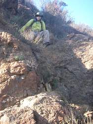 |
Scrambling down the steepest part
|
|
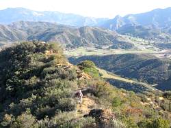 |
This part is relatively level and easy
|
|
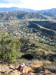 |
Back to the loose section, getting close to the bottom
|
|
|


