|
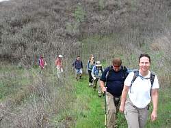
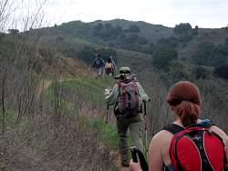
Heading up the Talepop Trail
|
|
|
 |
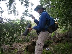
The first geocache on the Talepop Trail
|
|
 |
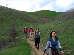
More climbing through the meadow on the south end of the Talepop ridge
|
|
 |
Looking back down (south) the Talepop Trail towards the more congested area of Malibu Creek State Park. Liberty Canyon is on the right.
|
|
 |
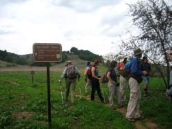
Another geocache on the Talepop Trail. This one was quite large.
|
|
 |
We pass clsoe to a burned area
|
|
|
 |
Heading down the Talepop Trail towards the north end
|
|
 |
Approaching Grasslands Trail, there is a partly burned tree off to the side
|
|
 |
It looks like it might have been hit by lightning, consuming the nearer half of the tree in fire, but leaving the rest almost untouched
|
|
 |
Looking at the half-burned oak tree off to the side
|
|
|
|
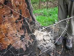 |
There's ash piled at the bottom of the tree
|
|
 |
It's a pretty massive tree!
|
|
 |
The remainder of the burned half lies on the ground next to the tree
|
|
 |
Heading north on the Grasslands Trail, the last leg to get back to the cars
|
|
|
 |
De Anza Park is only a couple hundred yards away
|
|
 |
De Anza Park
|
|
|