 |
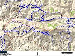
Route of the hike on a topo map. Our route is shown by the dotted pink line, staring at the left, climbing eastward to Simi Peak, then returning.
|
|
 |
Google Earth view of the hike, from just south-east of Simi Peak. Oak Park is in the lower left and Simi Valley to the right.
|
|
 |
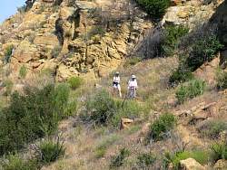
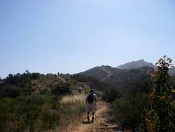
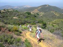
Starting up the Oakbrook Vista Trail
|
|
 |
Can you see the horned toad under the bush?
|
|
|
 |
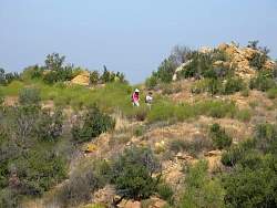
Riders far below us on Albertson Fireroad
|
|
 |
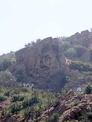
Of the main trail and on the Secret Passage
|
|
 |
Heading up the switchbacks of the 'Wall of Wiggles'
|
|
 |
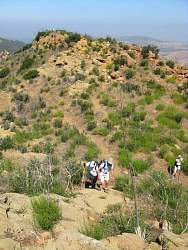
Looking back down the 'Wall of Wiggles'
|
|
|
|
|
|
|
|
|
|
|
|
|
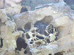 |
The nest in the cliff below the Lonesome Oak
|
|
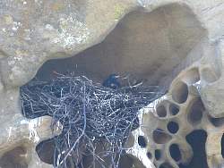 |
What kind of bird is in there?
|
|
|
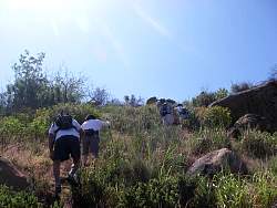 |
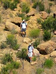
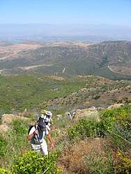
Climbing the steepest part
|
|
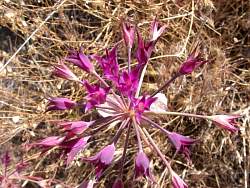 |
A colorful flower beside the trail
|
|
|
|