 |
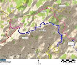
Our path, shown in pink, starting at the Yerba Buena Parking at the lower right and ending at Tripeaks. Overall distance was 7.2 miles with about 2100 feet of climbing.
|
|
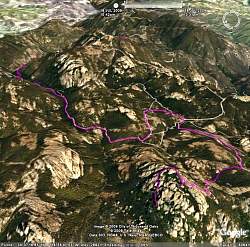 |
Google Earth view of our route, shown in pink, looking from the west. Tripeaks is in the front (at the bottom). The path ends at the Swiss Cheese Rock and the spur goes to the Painted Wall cave.
|
|
 |
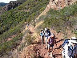
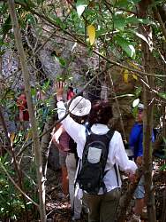
Starting up the Mishe Mokwa Trail
|
|
|
|
 |
On the Mishe Mokwa Trail with Carlisle Canyon in the background.
|
|
 |
Paul's exploratory hike will the WHERE in two weeks???
|
|
 |
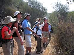
Taking a break at Split Rock. It's pleasantly cooler here (but still hot!)
|
|
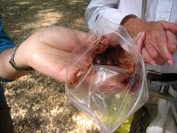 |
Chocolates don't hold up well to the heat today
|
|
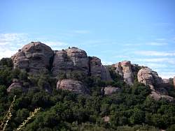 |
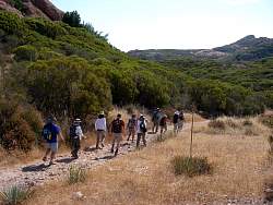
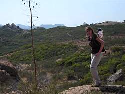
Scenery along the way. The Sandstone Peak Trail is on the other side of those cliffs
|
|
 |
The light cloud cover doesn't provide much relief from the hot sun
|
|
|
|
|
|
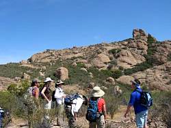 |
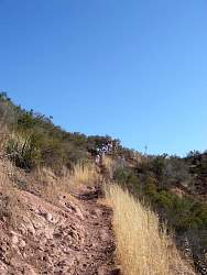
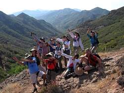
Tripeaks is in sight
|
|
 |
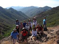
On the top of Tripeaks, looking towards Sandstone Peak. It's very hot up here when we're not getting a breeze
|
|
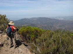 |
Looking into Sycamore Canyon from Tripeaks
|
|
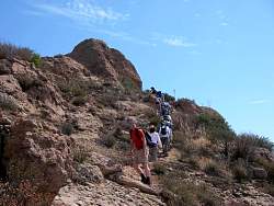 |
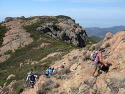
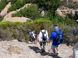
The latter part of the group climbing the last few feet to the top
|
|
|
 |
Heading down a bit to the Painted Wall cave
|
|
|
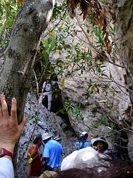 |
Steve is in the entrance to the Painted Wall cave
|
|
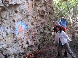 |
The Painted Wall just outside the cave
|
|
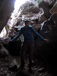 |
Lily enters the Painted Wall cave with a flourish!
|
|
|