|
The hike started at the bottom and headed north-west up Devil's Canyon, then turned north-east up Ybarra Canyon
for about 350 yards before diverting up Echo Canyon. At the top we turned south-east down a ridgeline dirt road, turned west on Saugus Rd, then headed south down 'Macabre Canyon' just west of Commanche Trail.
|
|
 |
Google Earth view of the hike (blue line), looking north north-east.
|
|
 |
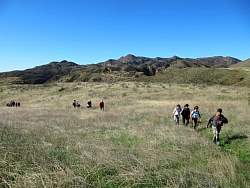
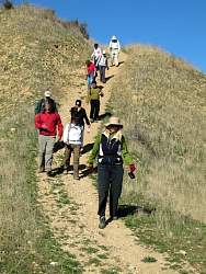
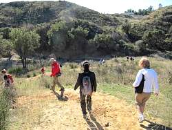
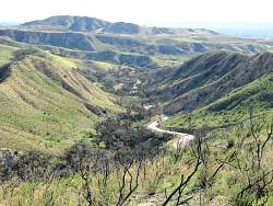
Devil's Canyon
|
|
 |
Devil's Canyon
|
|
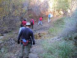 |
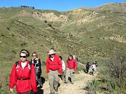
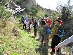
There are lots of stream crossings in Devil's Canyon
|
|
 |
Devil's Canyon
|
|
 |
Devil's Canyon
|
|
 |
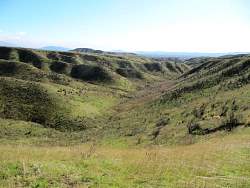
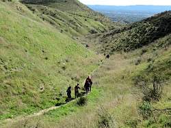
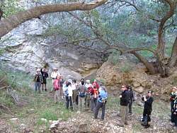
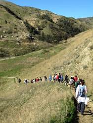
Ybarra Canyon
|
|
 |
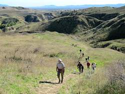
We turned up Echo canyon to get us to the top
|
|
|
|
|
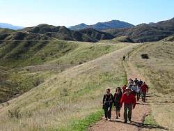 |
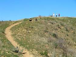
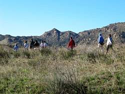
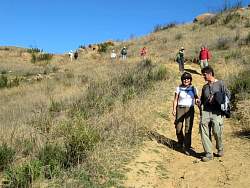
Heading south-east on the ridgeline road
|
|
|
|
|
 |
Brown's Canyon Road is below us to the east
|
|
 |
Rocky Peak to the west
|
|
|
|
|
|
 |
Dropping down to Saugus Rd
|
|
 |
Saugus Rd
|
|
 |
Saugus Rd
|
|
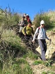 |
The drop into 'Macabre Canyon' is pretty steep at the beginning
|
|
|
 |
The canyon is decorated up for Hallowe'en! The white stuff is supposed to be cobwebs
|
|
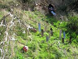 |
A little graveyard in 'Macabre Canyon.' There were lots of other goulish things as well.
|
|
|
 |
Decending back down to the start of Devil's Canyon
|
|
|
|