|
Topo map of the Solstice Canyon Trails. The Rising Sun Trail is yellow; Sostomo Trail and Deer Valley Loop Trail are red; Solstice Canyon Trail is blue.
|
|
 |
Google Earth view of Solstice Canyon Trail, looking south.
|
|
 |
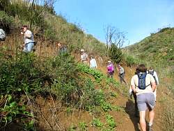
Starting off up the TRW loop Trail, headed for the Rising Sun Trail
|
|
 |
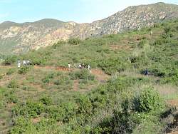
The canyon is surrounded by houses, but you can't hear them or any traffic from the trails.
|
|
|
|
|
|
 |
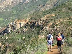
Heading north on the Rising Sun Trail
|
|
|
|
|
|
|
 |
Descending on the Rising Sun Trail towards the Roberts Ranch House Ruins
|
|
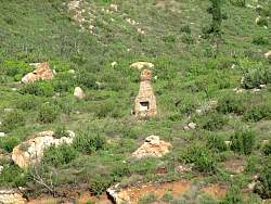 |
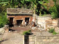
There are a number of ruins nearby
|
|
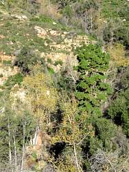 |
This bright green pine tree seems out of place
|
|
 |
The Roberts Ranch ruins
|
|
|
|
|
|
|
|
|
|
|
|
|
|
 |
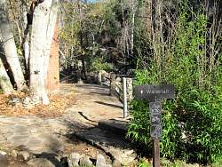
Relaxing at the waterfall
|
|
|