 |
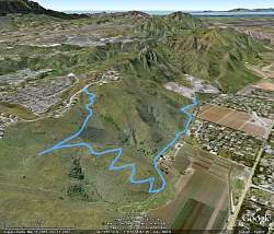
Our route, as seen from Google Earth from the north-east. Santa Rosa Valley is on the right side, Montclef Ridge in the center, and Wildwood to the left of that.
|
|
 |
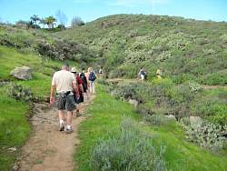
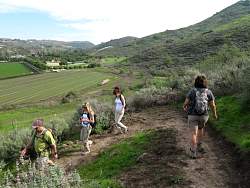
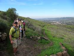
Starting off from Wildwood Avenue
|
|
|
|
|
|
 |
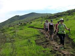
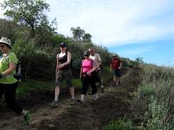
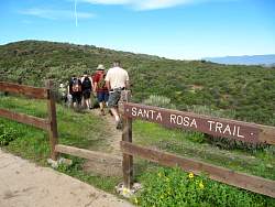
The lower group is at the Satna Rosa Trail proper
|
|
 |
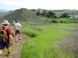
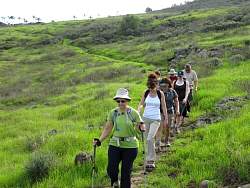
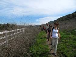
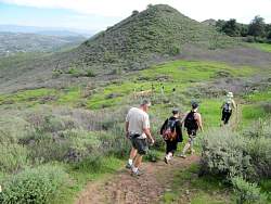
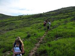
Starting along the Santa Rosa Trail
|
|
|
 |
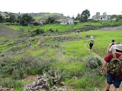
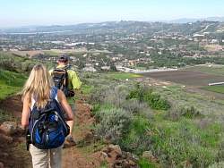
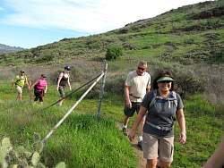
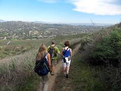
We're just about to start down the new connector trail to the Lower Santa Rosa Trail.
|
|
 |
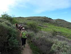
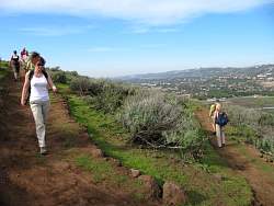
On the connector trail
|
|
|
|
|
|
|
|
|
|
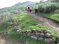 |
There are lots of rocks on this trail to help build the many switchbacks.
|
|
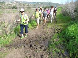 |
The Lower Santa Rosa Trail was a little muddy in some places
|
|
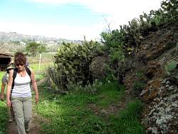 |
Lots of cactus in some places
|
|
|
|