|
Google Earth view of our hike (light blue line), looking southeast. We started at the lower left and hiked a counterclockwise loop up to Boney Summit and Tripeaks. The other colored lines show other trails.
|
|
 |
Boney mountain is covered with clouds when we start out
|
|
 |
Are the clouds clearing, or not?
|
|
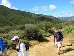 |
We decided the clouds were clearing so we head up Danielson Road towards Boney Summit and Tripeaks.
|
|
|
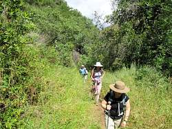 |
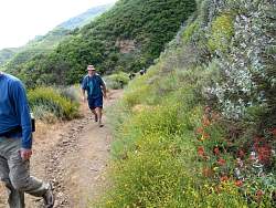
This part of Danielson Road is a little overgrown with grass in the spring
|
|
|
|
|
|
|
|
|
 |
Where we turn off Danielson Road to Old Boney Trail, with our ridgeline route on the horizon behind us.
|
|
|
|
|
 |
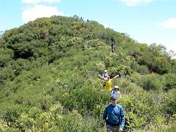
Old Boney Trail
|
|
|
|
 |
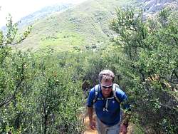
Starting up the Western Ridge Trail
|
|
|
|
|
|
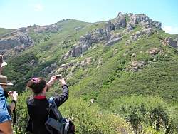 |
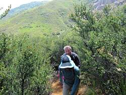
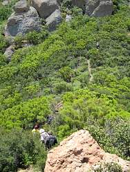
We'll be up there in a couple of hours
|
|
|
|
|
|
|
|
|
|
 |
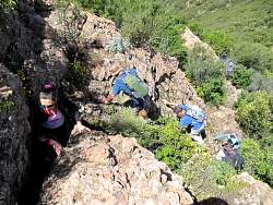
Claudia and Brew watching us climb
|
|
|
|