 |
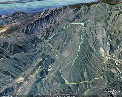
Our route as seen in Google Earth, in light blue, looking from the north-east. We started at the bottom of the image.
|
|
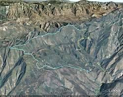 |
Google Earth view of our route, looking from the south-west.
|
|
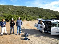 |
Getting ready at the Dry Lakes Ridge trailhead
|
|
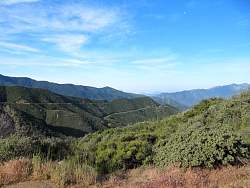 |
View of Hwy 33 south of us from the trailhead
|
|
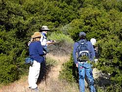 |
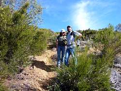
Searching for the geocache near the trailhead
|
|
 |
The climb starts off plenty steep!
|
|
 |
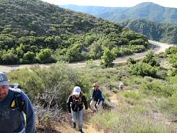
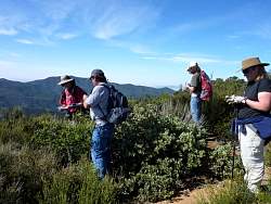
We took a number of breaks on the way up
|
|
 |
It doesn't take long for the hike leader to fall to the end!
|
|
 |
The Foocachers, younger and older
|
|
 |
Looking east at the Sespe Creek
|
|
 |
On this break, we search for a cache
|
|
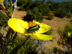 |
This isn't swag, it's real!
|
|
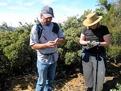 |
We found the geocache! (One of 57 we found along the way)
|
|
|
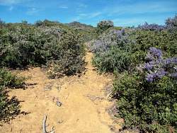 |
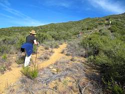
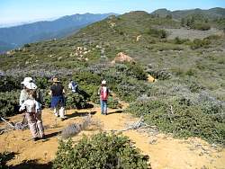
The Dry Lakes Ridge trail looked a lot like this in most places - a little overgrown. The California lilac was blooming everywhere!
|
|
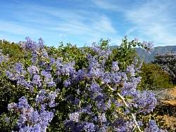 |
California lilac
|
|
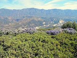 |
Looking north with Pine Mountain in the distance.
|
|
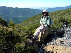 |
It's CaHikerChick!
|
|
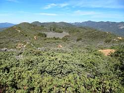 |
Our first view of a "dry lake."
|
|
 |
Searching for a cache overlooking the first "dry lake."
|
|
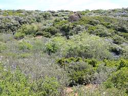 |
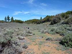
Looking back up the hill from the "lake," the trail was pretty overgrown through this area
|
|
 |
At the "dry lake."
|
|
|
|
|
|
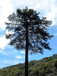 |
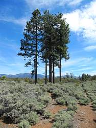
This tree looks like a lolipop!
|
|
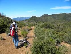 |
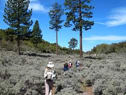
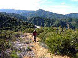
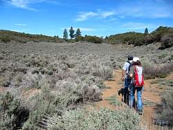
It looks like we have even more climbing in store for us in the distance
|
|