 |
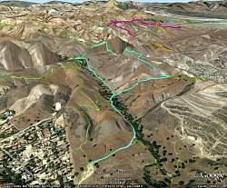
Our route, as seen in Google Earth, looking north-east. Our route is light blue and other nearby trails are other colors. We started at the bottom and hiked the loop counterclockwise. There's a bug in Google Earth in this area that makes it look like we climbed down into a rift, then back up again (top of our route), but it's not really there. Even Google screws up once in awhile!
|
|
 |
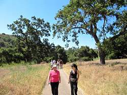
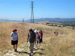
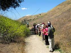
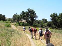
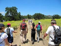
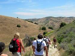
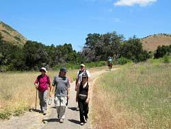
We start off up the main Cheeseboro Canyon trail.
|
|
|
|
|
 |
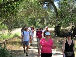
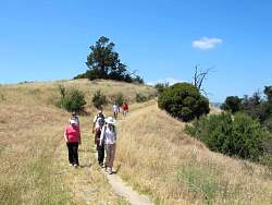
Canyonview Trail
|
|
 |
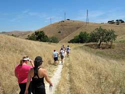
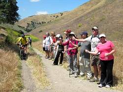
Cheeseboro Ridge trail
|
|
|
|
|
 |
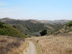
Looking into Cheeseboro Canyon from Cheeseboro Ridge
|
|
|
|
|
 |
Coming to where we turn off the Cheeseboro Ridge trail to head back down to Cheeseboro Canyon...
|
|
 |
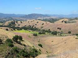
...but first, we take a peak to the east to overlook Ahmanson Ranch
|
|
 |
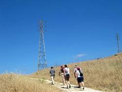
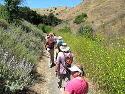
On the Cheeseboro Ridge Connector trail
|
|
|
|
|
|
|
|
|
|
|
 |
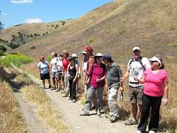
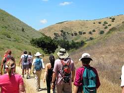
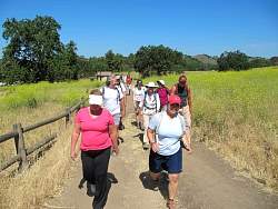
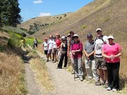
Back on the main Cheeseboro Canyon trail
|
|
|
|
 |
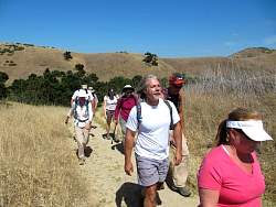
They're headed up the Modello Connector
|
|
|
|
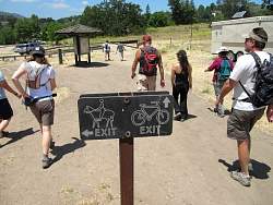 |
Back at the parking area, there are separate exits for horses and bikes. Which way do hikers go?
|
|
|
|