|
View of our route (light blue) as seen by Google Earth, looking east. We went around the loop counterclockwise. The target symbols are the cache locations along the way. The ? are puzzle cache locations.
|
|
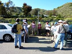 |
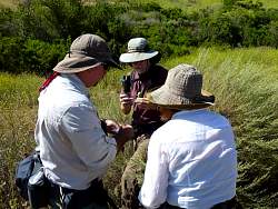
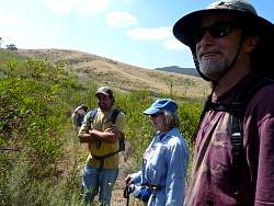
Learning about geocaching before we head out on the trails.
|
|
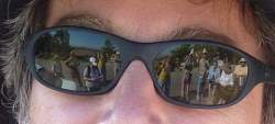 |
Reflecting on the hikers
|
|
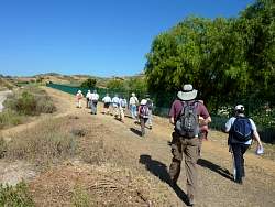 |
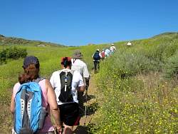
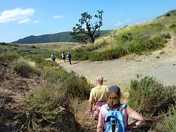
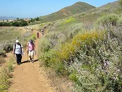
Off we go!
|
|
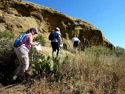 |
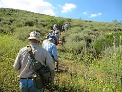
Searching for the first geocache
|
|
 |
Found it!
|
|
 |
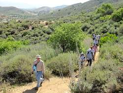
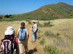
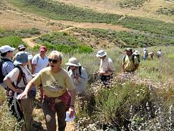
On to the next cache
|
|
|
|
|
|
|
|
|
|
|
|
|
|
|
 |
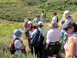
Signing the cache log sheet
|
|
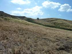 |
We don't know it yet, but we'll be headed up the hill to that tree soon!
|
|
|
|
|
|
 |
"Show us where it was hidden!"
|
|
 |
"See where it is?"
|
|
|
|
|
|