View of our route as seen by Google Earth, in light blue, from the north-north-west. Other colored lines show other trailsin the area. We hiked clockwise, up Topanga Ridge and down the Stunt High Trail.
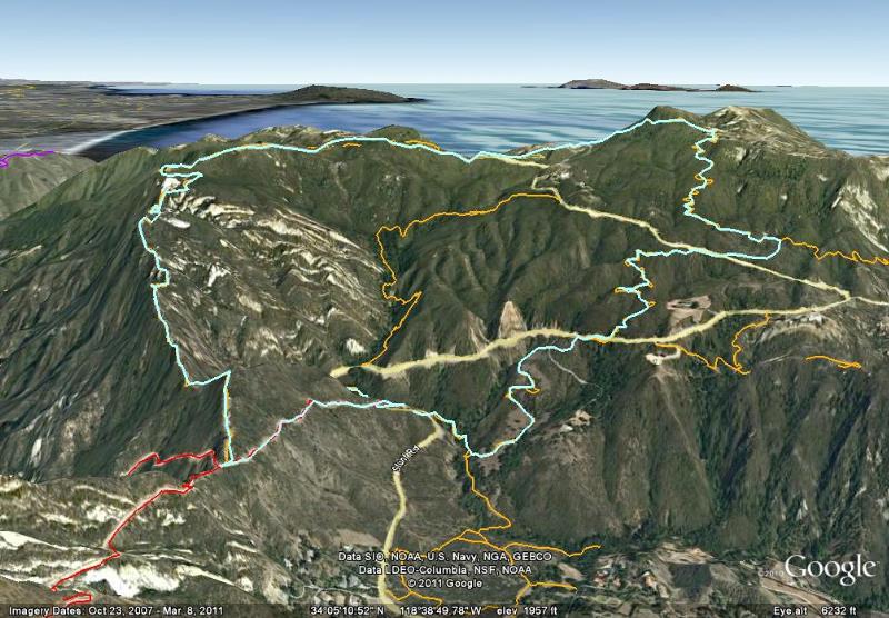
Image 1 of 72
View of our route as seen by Google Earth, in light blue, from the north-north-west. Other colored lines show other trailsin the area. We hiked clockwise, up Topanga Ridge and down the Stunt High Trail.
|
||
|
|
Image 1 of 72 |
|
|
Image 1 of 72
|
