 |
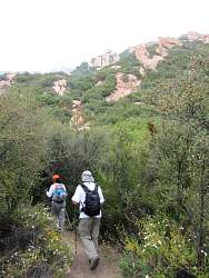
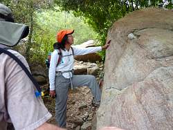
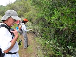
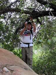
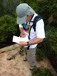
Looking for a cache...
|
|
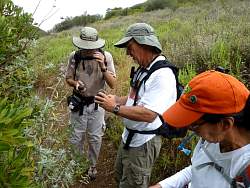 |
... found it!
|
|
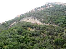 |
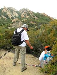
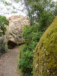
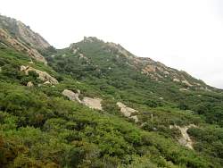
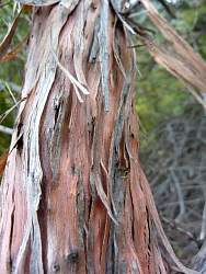
The rocks and cliffs above on Saddle Peak
|
|
 |
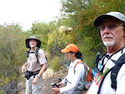
Overall, we found about 25 geocaches on this hike
|
|
|
|
|
|
|
|
 |
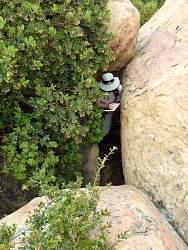
Some geocaches are just hanging around, waiting to be found
|
|
|
|
|
|
|
 |
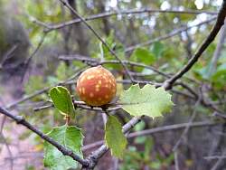
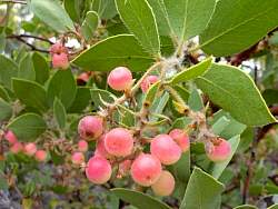
This plant had bright crimson leaves...
|
|
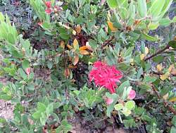 |
... it's new growth on a manzanita bush
|
|
|
|
|
|
 |
The goal of the hike - to be able to sign the log for the special geocache, 'Spinal Tap.' That's VCTrails
|
|
 |
K & K signs the log
|
|
 |
Now it's 3rd Wheel's turn
|
|
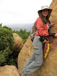 |
CaHikerChick at 'Spinal Tap'
|
|
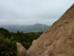 |
Looking north to Calabasas Peak from 'Spina Tap'
|
|
 |
The junction of the Saddle Peak and Stunt High Trails. We'll continue on the Saddle Peak Trail almost to Stunt Rd, then return here and head down Stunt High Trail
|
|
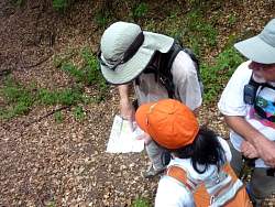 |
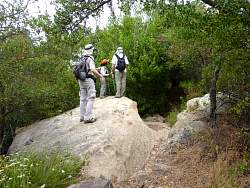
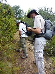
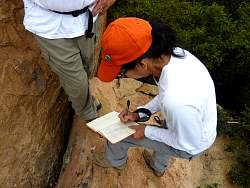
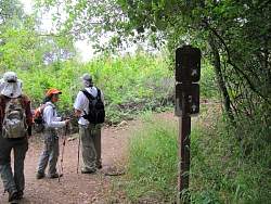
Checking the map
|
|
|
|
|
|
|