Google Earth view of our route, looking from the south-west. We started on Erbes Rd (just below and left of center), hiked out the new loop at the left side, then continued along the ridge to the top right. Then we turned around and hiked back, going straight down the hill rather than around the new loop.
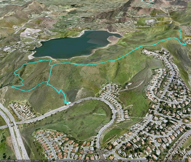
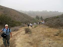
Image 1 of 35