 |
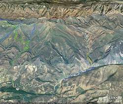
Google Earth view, looking north, of our hike up the East Fork Trail of the Santa Paula Canyon (brown and blue, lower center). The section of the Last Chance Trail we hiked is yellow, above the end of the blue trail. The northern section of the Last Chance Trail is salmon and it meets the Red Reef Trail (red) to the north. To the west (left) is the Sisar Canyon Road (green) and Nordhoff Ridge Road (lighter green). Other trails are shown in blue.
|
|
 |
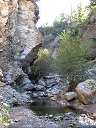
Google Earth view of Jackson Falls, looking north. Our track is shown in light blue.
|
|
 |
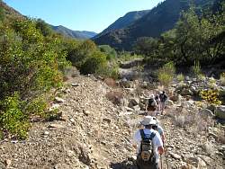
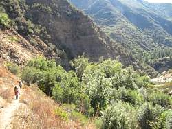
Crossing the Santa Paula Creek to get to the East Fork Trail from the trail just past the oil pumps.
|
|
 |
There's lots and lots of graffiti on the rocks up here, all the way to the bottom of the Last Chance Trail.
|
|
|
|
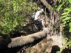 |
There's a geocache hidden in the tree that fell over. It's still there.
|
|
|
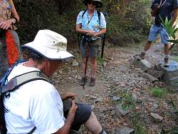 |
Opening a geocache found near the trail
|
|
|
|
|
|
|
|
|
|
|
|
|
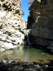 |
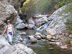
The pool that most people refer to as "The Punchbowl"
|
|
|
|
|
|
 |
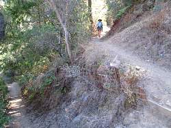
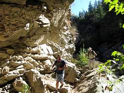
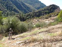
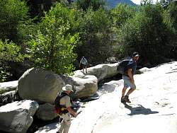
The East Fork Trail climbs above the canyon here.
|
|
 |
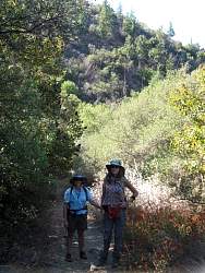
Crossing the stream again
|
|
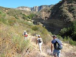 |
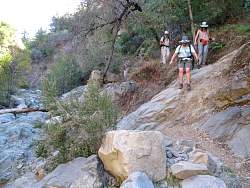
Starting up the southern end of the Last Chance Trail
|
|