 |
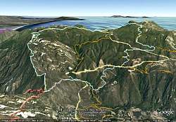
View of our route as seen by Google Earth, in light blue, from the north-north-west. Other colored lines show other trails in the area. We hiked clockwise, up Topanga Ridge and down the Stunt High Trail.
|
|
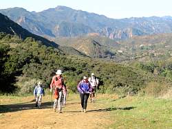 |
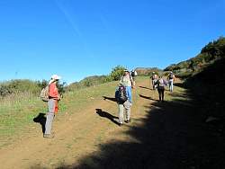
Starting up Calabasas Peak Mtwy
|
|
|
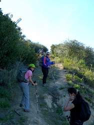 |
Turning up the Topanga Ridge Trail
|
|
|
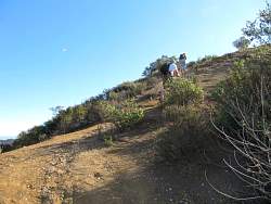 |
The first steep part of the Topanga Ridge Trail
|
|
|
|
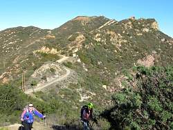 |
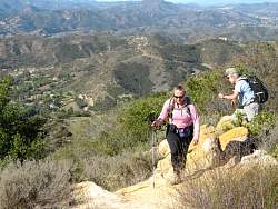
We can see Calabasas Peak Mtwy in the background. We can see lots more in other directions, too!
|
|
|
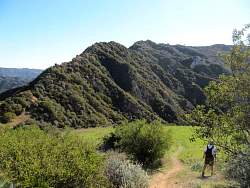 |
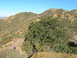
We've just reached the meadow. We get a good view of Topanga Ridge on the far side of the meadow.
|
|
 |
Leaving the meadow
|
|
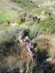 |
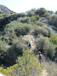
The trail isn't nearly as overgrown as it looks here, but it is narrow
|
|
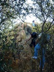 |
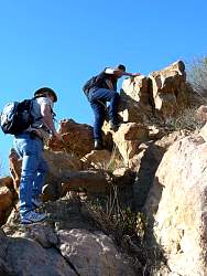
Most of the trail is steep and rocky.
|
|
 |
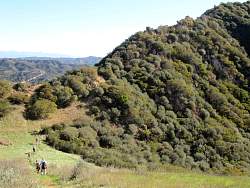
The trail through the meadow is below us now
|
|
 |
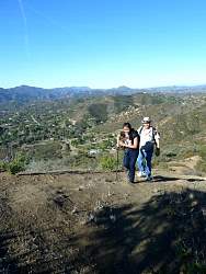
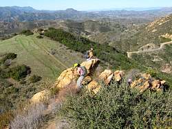
You can see several people on the ridgeline here
|
|
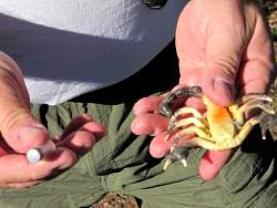 |
This geocache is hidden in a plastic scorpion
|
|
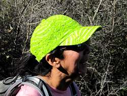 |
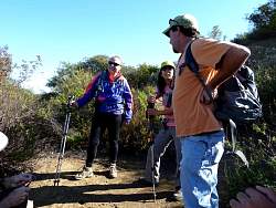
This is Kathy, AKA Miss Sparkle Hat
|
|
|
|
|
 |
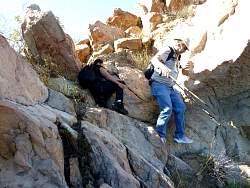
Signing the log in another geocache
|
|
|
|
|
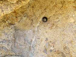 |
This geocache is called "Hole in the Wall." We had to make a little modification to keep it from falling out. Hopefully it won't get lost again.
|
|
 |
Crows harassing a hawk
|
|