|
|
 |
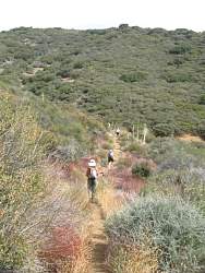
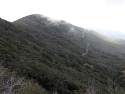
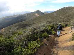
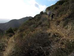
One of many switchbacks on the way to the top
|
|
|
 |
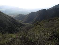
It was pretty hazy down below, but even so we had a spectactular view!
|
|
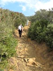 |
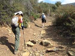
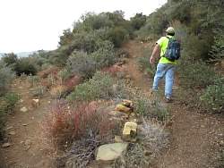
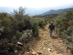
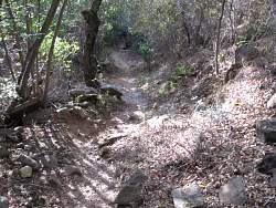
Okay, there were a lot of rocks in some places!
|
|
 |
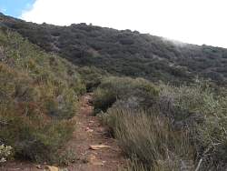
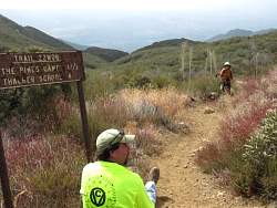
This is the last short section before we get to Sisar Canyon Rd
|
|
 |
At Sisar Canyon Rd, looking down the trail
|
|
 |
The trail continues up on the other side of Sisar Canyon Rd
|
|
 |
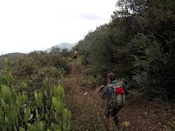
We continue up towards Nordhoff Ridge Road
|
|
|
|
 |
Baby manzanitas line the trail here
|
|
 |
Sisar Canyon Rd down below us to the south
|
|
 |
Where the trail croses Sisar Canyon Rd below us
|
|
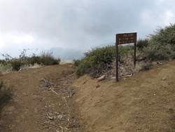 |
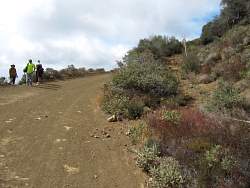
The trailhead on Nordhoff Ridge Rd
|
|
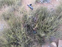 |
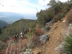
Setting out a new geocache near the top of Horn Canyon Trail
|
|
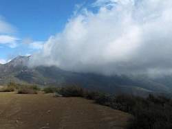 |
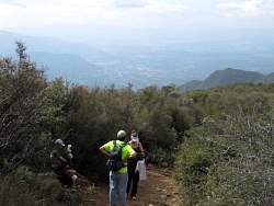
We would be able to see Topatopa from the top of the trail if not for the clouds...
|
|
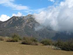 |
... In a few minutes the clouds cleared a little, but we couldn't wait to see if they cleared completely or not before we headed back down.
|
|
 |
Heading down, we see Nordhoff Ridge Rd ahead of us and Sisar Canyon Rd below to the left
|
|
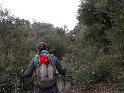 |
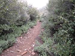
The stretch of the trail just above Sisar Canyon Rd was the most overgrown, but still easily passible
|
|
|
 |
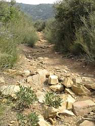
This was the rockiest stretch, somewhere between Sisar Canyon Road and Pines Camp
|
|
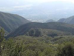 |
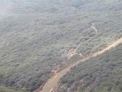
Pines Camp from above
|
|
 |
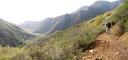
The view down the canyon is better on the way down because we're facing the right way!
|
|
|
 |
Coming to a switchback on the way down
|
|
 |
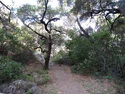
Back into the canyon where it's shady.
|
|
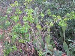 |
Poison oak mingles with cactus. That's something you don't often see!
|
|
|
|
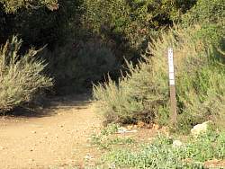 |
Back to the bottom of the trail
|
|
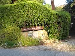 |
You drive through the Thacher School to get to the trailhead.
|
|