|
The Ray Miller Trail (light blue) as viewed in Google Earth, looking due east. Sycamore Canyon trails are yellow and Boney Mtn Wilderness trails are red.
|
|
 |
The pre-hike explanation of the routes. My group was going to the top of Ray Miller and back.
|
|
 |
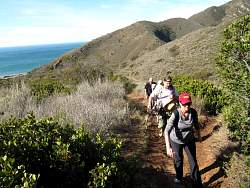
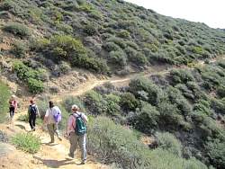
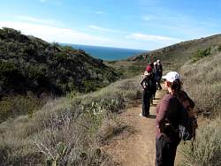
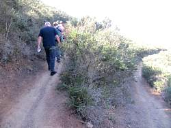
The second group sets off up La Jolla Canyon Trail. The first group left a few minutes earlier.
|
|
 |
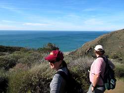
The ocean is unbelievably blue today!
|
|
|
 |
The ocean is still nice and blue!
|
|
 |
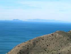
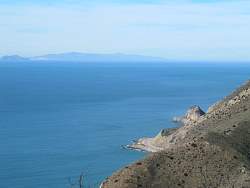
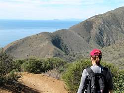
It's so clear today that we have a great view of Anacacpa and Santa Cruz Islands.
|
|
|
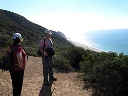 |
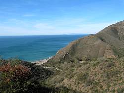
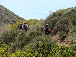
There are lots of ocean views on this trail, and they're all fabulous!
|
|
|
|
 |
From here, we can see the Ray Miller Trail down below us.
|
|
 |
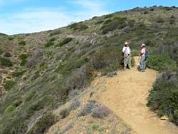
A switchback on the trail
|
|
|
|
|
 |
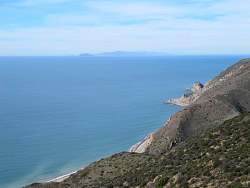
Santa Cruz Island in the distance with Mugu Rock near the lower right corner.
|
|
|
|
 |
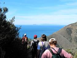
More spectacular coastal view
|
|
 |
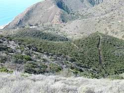
As we crest the ridge, to the east we can see Boney Mountain and Serrano Valley beyond Sycamore Canyon. The trail in the foreground is Overlook Fireroad that drops down into Sycamore Canyon.
|
|
 |
Nearing the end of the trail where it runs into Overlook Fireroad.
|
|
 |
On the way back down, we can see our trail below us and some people on it.
|
|
|
 |
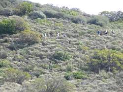
Another group of hikers is on the trail above us, following us down.
|
|
|
 |
Down the switchback
|
|
 |
As we were hiking down, this AWAC plane flew over very low.
|
|
 |
Guess what? Another stunning ocean view!
|
|
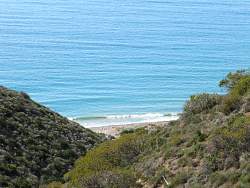 |
There's not much surf at the beach today.
|
|
|
|
|
 |
We're almost back to the bottom
|
|
|
|
|
|