 |
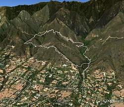
Route of our hike (white line) as shown in Google Earth. We started on East Mountain Drive near the lower-right, hiked up the San Ysidro Trail, then looped counterclockwise along the Edison Catway, Saddlerock Trail, McMenemy Trail, then returned on the San Ysidro Trail, a distance of 4.7 very hilly miles.
|
|
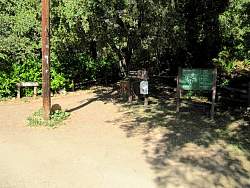 |
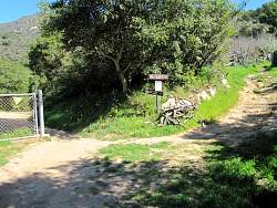
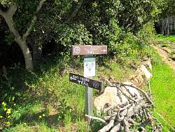
The trailhead on E Mountain Drive
|
|
|
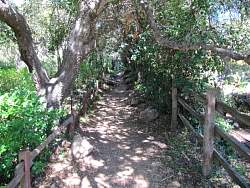 |
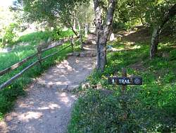
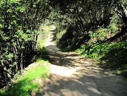
The San Ysidro trail starts off very shady
|
|
|
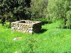 |
An old structure not far from the trail
|
|
 |
The trail runs parallel to the road, and along it for some short sections
|
|
|
|
 |
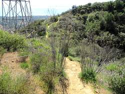
We followed the San Ysidro Trail
|
|
 |
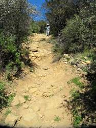
At this point, the trail is a dirt road
|
|
 |
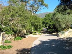
This is where we would finish our loop
|
|
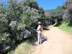 |
There was lots of western lilac in bloom
|
|
 |
One of these lines is out of place!
|
|
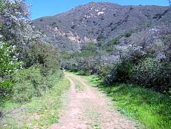 |
Lots more western lilac
|
|
 |
We'll have to find out where that goes some day
|
|
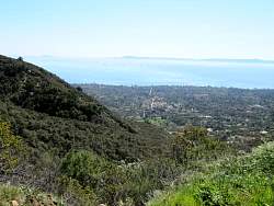 |
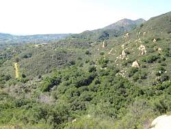
We had lots of views like this one.
|
|
 |
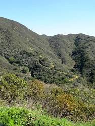
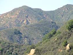
Looking ahead and up the Edison Catway
|
|
 |
This is where we left the Edison Catway
|
|
|
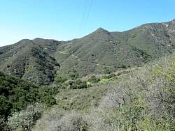 |
Another view of the Edison Catway in the distance to the west
|
|
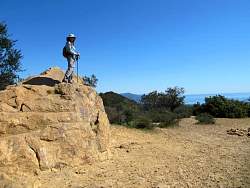 |
Standing on Saddle Rock
|
|
 |
Another gorgeous view!
|
|
 |
Another view of the Edison Catway to the west
|
|
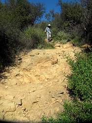 |
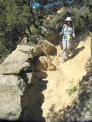
The Saddle Rock Trail is steep and rocky!
|
|
|
|
 |
In the far distance to the west, is that the Cold Spring Trail?
|
|
 |
A rock wall has been built here
|
|
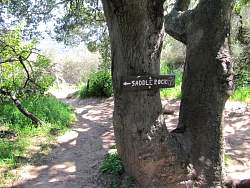 |
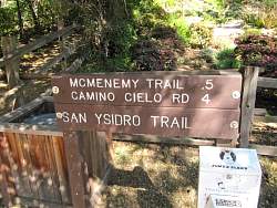
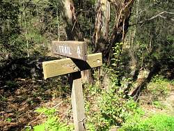
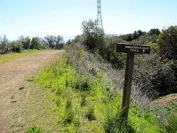
The junction with the McMenemy Trail
|
|