 |
Google Earth view of our hike route, looking from the north. We went around both loops in the clockwise direction.
|
|
 |
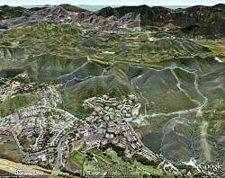
At the parking area at the south end of Moorpark Rd, getting ready to head out
|
|
 |
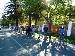
Off we go, heading for Los Padres Street and Los Padres Trail
|
|
|
|
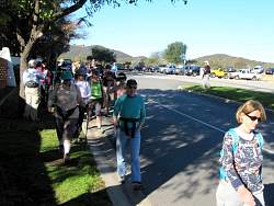 |
There were 33 of us at the start
|
|
 |
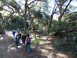
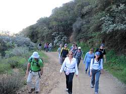
Starting up the Los Padres Trail
|
|
|
|
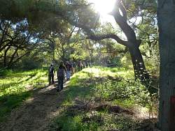 |
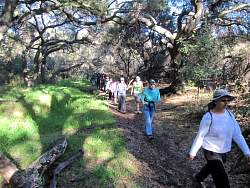
Some people call this area "Sherwood Forest"
|
|
|
|
|
|
|
|
|
|
|
 |
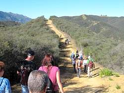
Los Padres Trail ends at a fireroad that we hike up for a few minutes before meeting Los Robles Trail East.
|
|
|
|
|
|
|
|
|
|
|
 |
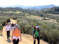
The switchbacks in the distance are part of the Los Robles Trail West. We're not going there today.
|
|
|
|
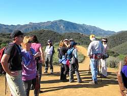 |
From the high point on the Scenic Loop Trail, we can see Boney Mtn to the south-west and above us...
|
|
 |
... and below us to the north is Thousand Oaks
|
|