 |
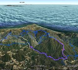
Google Earth view of our route, shown in pink. The view is looking due south, looking towards Point Dume. Other trails in the area are shown in blue. We started at Kanan Rd (left end of pink line), hiked to Buzzard's Roost Ranch (right end of pink line) and back.
|
|
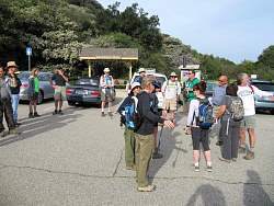 |
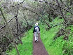
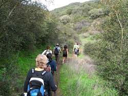
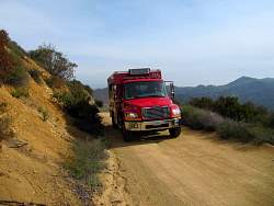
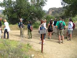
The trailhead on Kanan Rd
|
|
|
|
|
|
|
|
|
|
 |
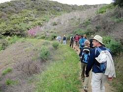
The western lilacs (top left) were all pale blue, but they show up as white in my photos :-(
|
|
|
|
|
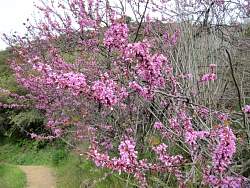 |
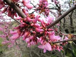
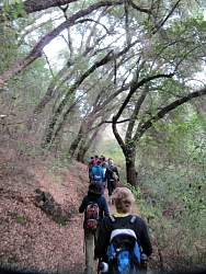
This was the only tree like this along the route.
|
|
|
|
|
|
|
|
|
|
|
|
|
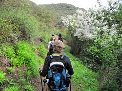 |
More western lilac that should be pale blue
|
|
 |
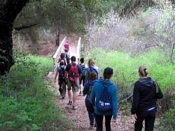
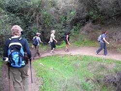
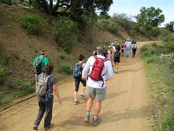
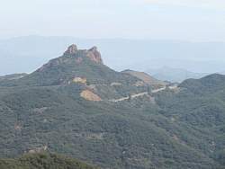
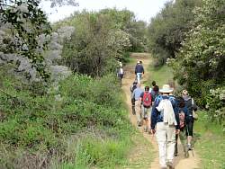
From here, we head up Zuma Ridge Motorway to Buzzard's Roost Ranch
|
|
|
|
|
|
|
|