 |
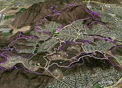
| The route of our hike, shown in pale yellow, looking from the south. We started at the pink arrow and hiked clockwise around the loop. Other Dos Vientos trails are shown in purple. |
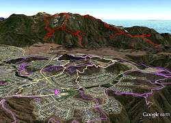 |
| The route of our hike, shown in pale yellow, looking from north-northwest. Boney Mountain is in the distance with its trails shown in red. |
 |
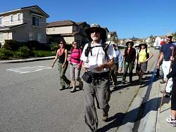
| We started from Borchard Community Park and headed north-east on Borchard Rd |
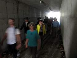 |
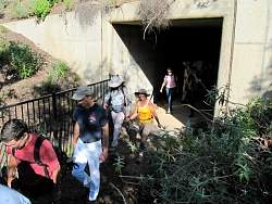
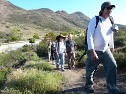
| Crossing Borchard Road. Shh - don't tell anyone about this secret passage! |
 |
 |
 |
 |
 |
 |
 |
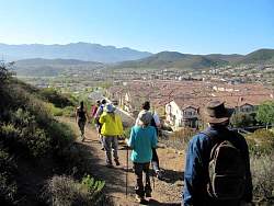
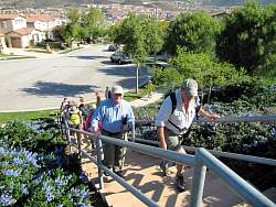
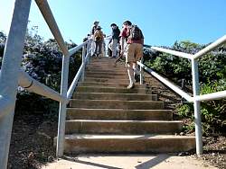
| Dropping into Sycamore Neighborhood Park |
 |
 |
 |
 |
 |
 |
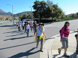
| We had to follow thr road for a few blocks to connect to the next trail |
 |
 |
 |
 |
| The Via Gregorio trailhead |
 |
 |
 |
 |
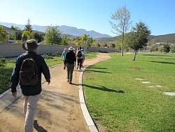
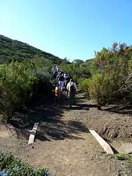
| Now we're on the Las Brisas Trail |
 |
 |
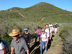
| The Cottontail Trail |