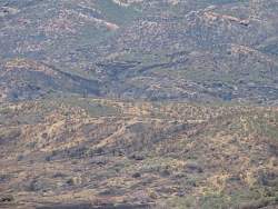
The difficult-to-see ridgeline about 3/4 of the way to the top of this photo is the route of Chamberlain Trail. Below it, about 1/3 of the way up, is an old roadbed?

Image 14 of 21
The difficult-to-see ridgeline about 3/4 of the way to the top of this photo is the route of Chamberlain Trail. Below it, about 1/3 of the way up, is an old roadbed?
|
||
Image 14 of 21 |
||
|
Image 14 of 21
|