 |
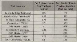
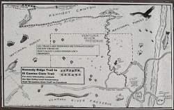
The Kennedy Ridge Trail, in red, as shown in Google Earth, looking north-east. Trails of the Ventura River Preserve are blue. In the background is Matilija Canyon.
|
|
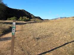 |
Turn right here to get to Kennedy Ridge
|
|
|
|
|
 |
The first of several 'signs' in a kiosk at the start of the trail.
|
|
|
|
|
|
 |
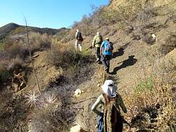
Now we're starting to do some real climbing!
|
|
|
|
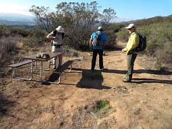 |
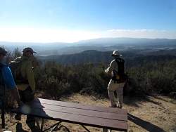
The first of a few picnic tables we encountered. I'm glad I didn't have to carry them up here!
|
|
|
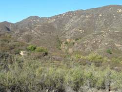 |
The cut across the ridge, about 2/3 of the way up, is the old, overgrown El Caminio Cielo, which this trail will follow.
|
|
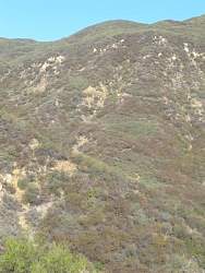 |
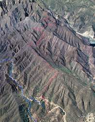
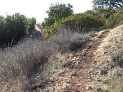
If you look very carefully, you can see the trail switchbacking up the hill.
|
|
 |
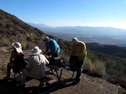
The second picnic table. You can start to see Lake Casitas.
|
|
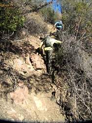 |
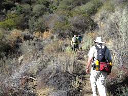
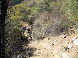
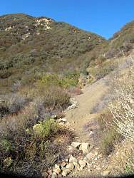
The trail between Kennedy Canyon and El Camino Cielo is pretty steep and rugged at this point.
|
|
 |
Looking back down at that steep, rugged section
|
|
 |
Picnic table #3
|
|
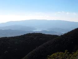 |
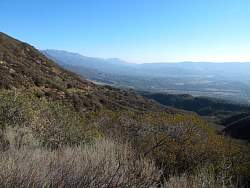
As we go higher, and we have some more to climb, the views of Lake Casitas get better
|
|
 |
This is old El Camino Cielo
|
|
 |
In some places, El Camino Cielo is in rough shape. That's the trail straight ahead!
|
|
|
|
|
|