 |
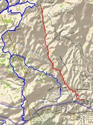
Map of the Devil's Canyon Trail (red) relative to other trails. The next trail to the left (blue) is Johnson Motorway, then Rocky Peak Fireroad. North is, of course, up.
|
|
 |
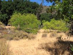
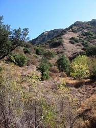
The access trail starts with a great view of the 118 Highway, and you can hear it clearly until you get into the start of the canyon. From there on, it's very quiet. On this day, the marine layer was rolling over the hills to the south-west.
|
|
 |
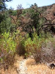
The trail is 5-miles long, and about the first third spends most of it's time in the streambed, either going along it, or crossing back and forth.
|
|
|
|
 |
On this August day, there was still water in a couple of places.
|
|
 |
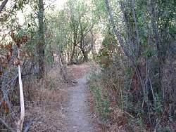
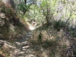
There's lots of poison oak. It's easy to avoid if you keep watching for it.
|
|
 |
Poison oak likes shade, which perhaps explains why there's so much of it next to the trail
|
|
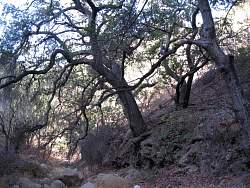 |
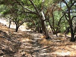
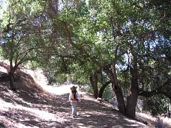
There are lots of oak trees to provide shade and scenery
|
|
 |
The trail is mostly shady, but not everywhere
|
|
 |
This appears to be an old dam or debris basin
|
|
 |
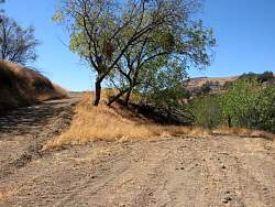
After the dam, the trail climbs out of the creek bed and becomes less rocky and more firm and even
|
|
 |
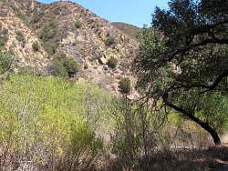
Most of the canyon has quite steep sides, but you can't always see them because of the tall trees and chaparral next to the trail
|
|
 |
In places it's easy to tell this used to be a road.
|
|
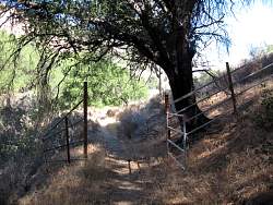 |
Reminders of the old ranching days
|
|
|
 |
At the top, the trail joins Las Llajas/Browns Canyon Rd. Browns Cyn Rd is to the left and Devil's Canyon trail is straight ahead. The grading ends in a few feet, just as the trail starts to slope down.
|
|
 |
On the way back to the beginning
|
|
 |
There are lots of oak trees to provide shade
|
|
|
|
|
|
|
|
 |
The trail goes straight ahead, pretty much along the course of the stream.
|
|
|
 |
The poison oak here is growing as a vine up the tree
|
|
 |
Some of the old equipment you can see near the trail
|
|
 |
It's very verdant and shady, stay on the trail and out of the poison oak!
|
|
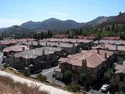 |
The connector trail back to the car has a more developed view.
|
|
|
|