 |
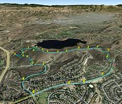
Google Earth view of our hike, looking north-west. We started at the red push-pin on the right side. The yellow push-pins show where the geocaches were. And of course that's Bard Reservoir in the background.
|
|
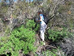 |
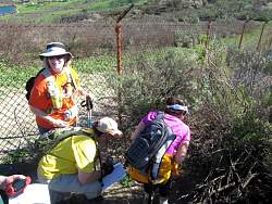
Finding the first geocache!
|
|
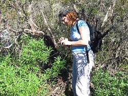 |
Looking to see what's in it.
|
|
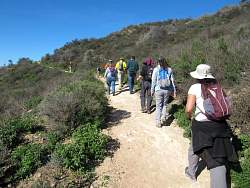 |
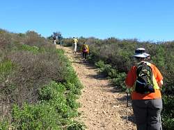
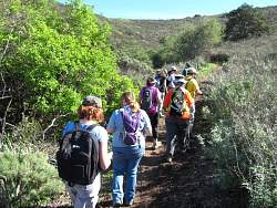
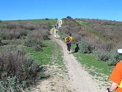
On the Sunset Hills Trail
|
|
|
 |
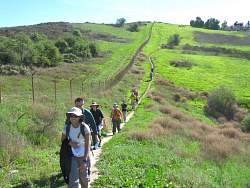
The fence keeps us out of Bard Reservoir
|
|
|
|
 |
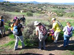
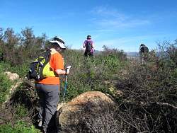
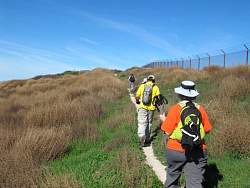
Looking for another geocache. This one was hard to see.
|
|
|
|
|
|
|
 |
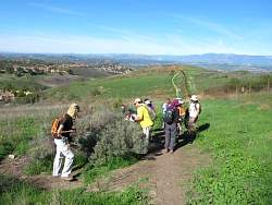
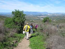
It's so green now!
|
|
|
 |
Here, the tunbleweeds are taking over the hillside. They're very brittle and prickly.
|
|
|
|
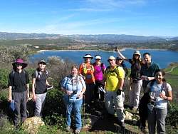 |
Group photo with Bard Reservoir in the background
|
|
|
|
|
|
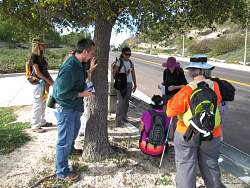 |
We took the road back to the start to make a full loop, and to find some different kinds of caches along the roadside. This one was on the guardrail.
|
|
|
|
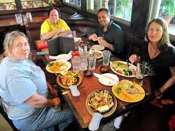 |
Lunch afterwards at Cisco's
|
|
|