 |
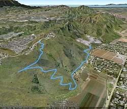
Our route, as seen from Google Earth from the north-east. Santa Rosa Valley is on the right side, Montclef Ridge in the center, and Wildwood to the left of that.
|
|
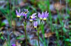 |
Shooting star flowers, 'borrowed' from the internet because we didn't see any along the trail today.
|
|
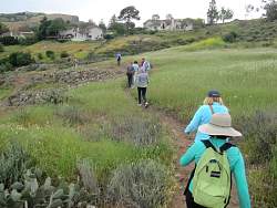 |
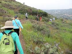
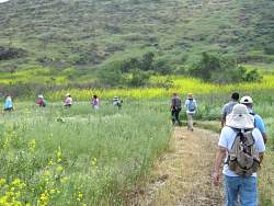
Starting down the connector trail from Wildwood Ave to the (upper) Santa Rosa Trail
|
|
|
|
|
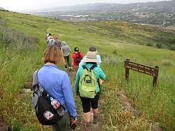 |
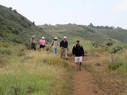
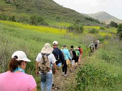
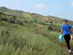
Starting down the Shooting Star Trail
|
|
|
|
|
|
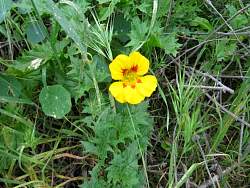 |
A flower along the way, apparently a domestic that escaped from someone's flower garden.
|
|
 |
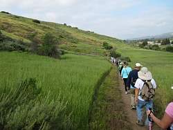
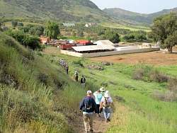
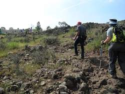
On the Lower Santa Rosa Trail
|
|
|
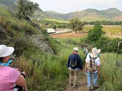 |
Approaching the end of the Lower Santa Rosa Trail
|
|
 |
At the end of the trail is the compound with the rail lines and cars, with some castle features to boot!
|
|
 |
The Lower Santa Rosa Trail, on the return trip
|
|
 |
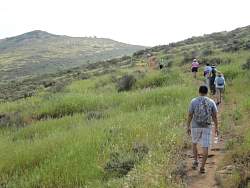
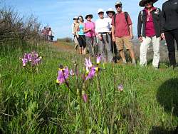
Heading back up the Shooting Star Trail. Didn't see any shootng stars on the retun triip, either.
|
|
|
 |
Almost back to the start
|
|
 |
This is from a hike along the trail in 2014 where there were still shooting stars in bloom.
|
|
|
|