 |
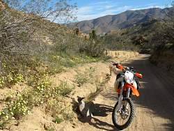
In Jawbone Canyon, a look at a couple of the many, many motorcyle tracks that climb the hills. Many are very steep!
|
|
 |
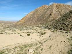
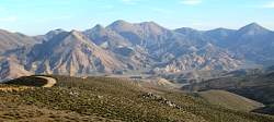
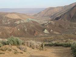
Panoramic view of Jawbone Canyon, looking north. About 1/3 of the way in from the left is Gold Canyon. The white line on the ridge towards the right is part of the Los Angeles Aqueduct.
|
|
 |
A closer look at a section of the LA Aqueduct
|
|
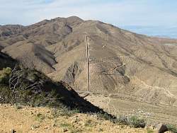 |
More of the LA Aqueduct
|
|
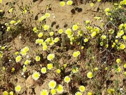 |
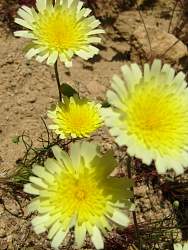
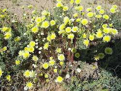
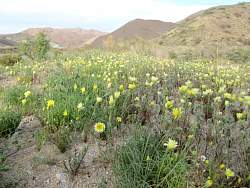
There were lots of yellow flowers next to the road
|
|
|
|
|
|
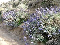 |
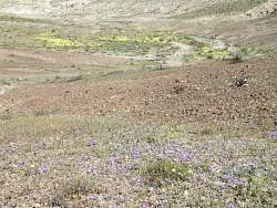
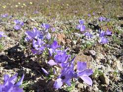
There were also some lupins, but not as many as the yellow flowers
|
|
 |
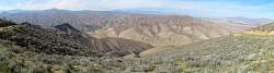
Looking south over Jawbone Canyon late in the day
|
|
 |
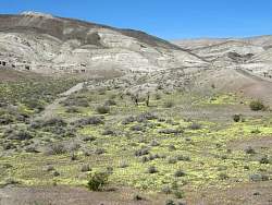
This green hill doesn't match any of the others
|
|
 |
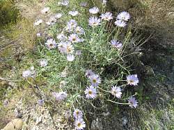
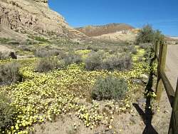
Another field of flowers
|
|
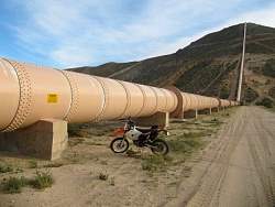 |
To give you an idea of the size of the LA Aqueduct pipe. And this is only one of two!
|
|
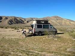 |
Camping in Jawbone Canyon
|
|
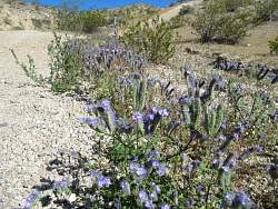 |
In Red Rock Canyon State Park, there was lots of phacelia in bloom. This was at the south entrance to Last Chance Canyon, the route I took into the park.
|
|
|
|
|
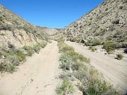 |
Looking up Last Chance Canyon
|
|
 |
Looking behind in Last Chance Canyon.
|
|
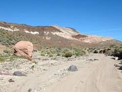 |
Round a curve in Last Chance Canyon and this is what you see. I guess this is how the park got its name.
|
|
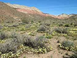 |
There are lots of yellow flowers here, too.
|
|
|
|
|
|
 |
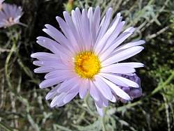
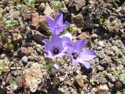
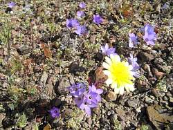
The flowers weren't all yellow, but there were almost always yellow ones nearby
|
|
|
|
|
|
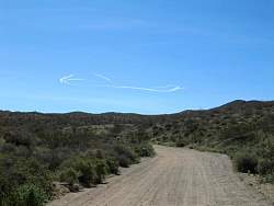 |
Red Rock Canyon State Park is just north of Edwards AFB. Today someone was out playing. The contrails lasted about two go-arounds, and they were visible all day. This was taken on the way to Burro-Schmidt Tunnel
|
|
 |
Saw a number of these migrating somewhere
|
|