 |
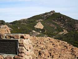
To the east is Sandstone Peak. You can tell it from the antenna next to it...
|
|
 |
...And because this points it out!
|
|
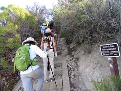 |
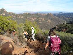
Starting up the trail to Sandstone Peak. There are only stairs at the very beginning. The rest of the trail is much more primitive and rugged.
|
|
|
|
|
 |
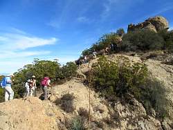
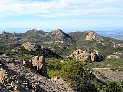
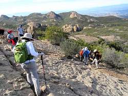
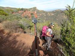
There are lots of people near the top.
|
|
 |
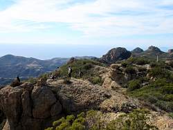
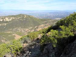
Channel Islands in the distance
|
|
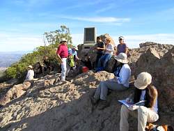 |
Enjoying a break and snack at Sandstone Peak, AKA Mount Allen.
|
|
 |
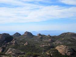
Looking west, we can see Boney Mtn Summit (rightmost peak) and Tripeaks in the middle.
|
|
 |
From Sandstone Peak, we can see Balanced Rock in the far distance to the north-east, and below us...
|
|
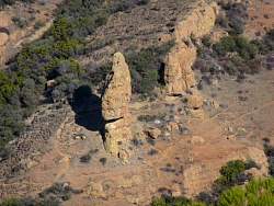 |
...zooming in a bit to get a better view
|
|
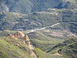 |
You can also see where are cars are parked at the Mishe Mokwa trailhead
|
|
 |
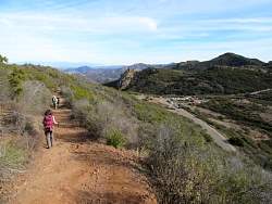
Starting down from Sandstone Peak
|
|
|
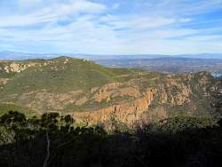 |
Echo Cliffs from the Sandstone Peak Trail
|
|
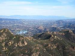 |
Lake Sherwood and Las Virgenes Reservoir (upper right)
|
|
|
|
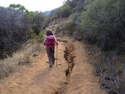 |
There's a big rut here. I wonder how big that will get with El Nino rains
|
|
 |
On the connector to get us back to Mishe Mokwa Trail
|
|
 |
It's pretty rugged in this spot!
|
|
 |
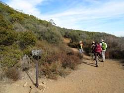
Turning right onto the Mishe Mokwa Trail
|
|
 |
Almost back to the start
|
|
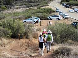 |
The cars are at hand!
|
|