 |
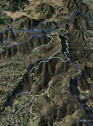
Google Earth view of our route (yellow), looking west. We started at the lower left. Other trails are shown in blue.
|
|
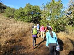 |
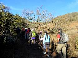
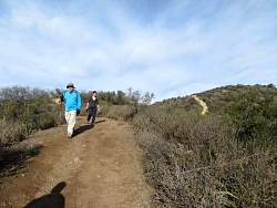
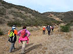
Starting up the Triunfo Cyn Trail.
|
|
|
|
|
|
 |
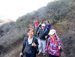
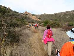
There's a bit of a haze over Westlake this morning
|
|
|
|
 |
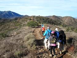
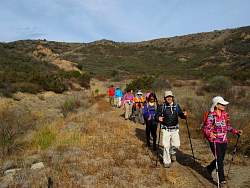
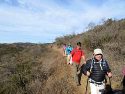
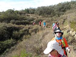
Heading west on the Conejo Crest Trail
|
|
|
|
|
 |
Bypassing the "Descent of Death" on a trail that was built just over a year ago
|
|
 |
The "Descent of Death" is to the right and the bypass is on the left.
|
|
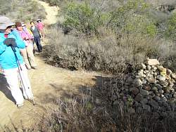 |
There's a big pile of rocks here!
|
|
|
|
 |
This is the New Bridgegate Trail that ends in a gated communitiy. This part of the hike will be out-and-back.
|
|
|
|
 |
Near the bottom of the New Bridgegate Trail, starting back up
|
|
|
 |
We backtrack on the Conejo Crest trail for a couple hundred yards to get to the trail that will take us down to the White Horse Canyon Trail.
|
|
 |
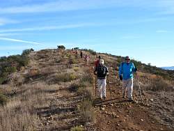
On the Conejo Crest / White Horse Canyon Connector Trail...
|
|
 |
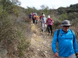
This trail gets rockier as we get to towards the bottom, but the trailwork we did last year to fix the worst ruts has held up well.
|
|
|
 |
The connector trail meets White Horse Canyon Trail. The latter is no longer a trail because it's been graded out to a full dirt road recently.
|
|
 |
The northern end of the White Horse Canyon Trail where it meets the Los Robles Trail (East), an Edison road.
|
|
|
 |
Heading east on the Los Robles Trail (East).
|
|
 |
Edison's handiwork
|
|
|
|
|
|
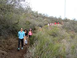 |
Finally, back on the Triunfo Canyon Trail to take us back to the cars.
|
|
|
|
|
|