 |
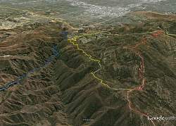
Google Earth view of our route in yellow, looking south-east. Blue is Devil's Canyon and red is Rocky Peak Mtwy. In the background is the San Fernando Valley.
|
|
 |
Google Earth view of our route in yellow, looking north-west. We started at the bottom center. Blue is Devil's Canyon and red is Rocky Peak Mtwy.
|
|
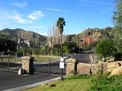 |
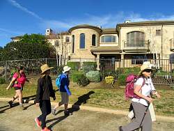
To get to the trailhead, we have to walk through a beautiful gated community. This gated community is inside another gated community.
|
|
|
|
|
|
|
|
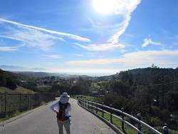 |
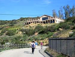
Looking back down the road. At this point, we're almost to the trailhead.
|
|
|
 |
Johnston Motorway proper!
|
|
|
|
 |
There are some remains (mostlyl a foundation) of some old structure here.
|
|
|
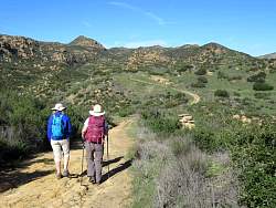 |
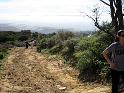
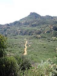
The road winds its way up to Rocky Peak Motorway.
|
|
|
|
|
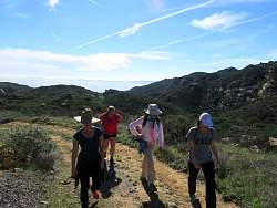 |
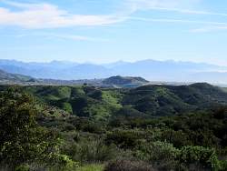
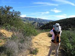
Looking back, that's mist in the San Fernando Valley, not the ocean.
|
|
|
|
|
|
|
|
|
|