 |
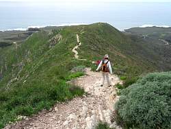
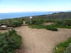
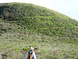
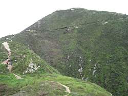
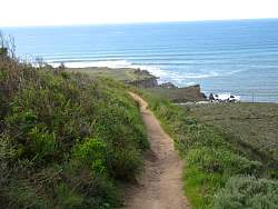
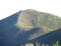
That's where we're headed...
|
|
 |
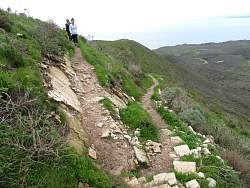
... Starting down, it's loose and rocky, but still not very difficult.
|
|
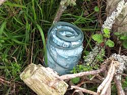 |
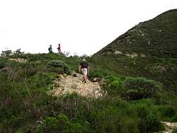
This geocache has a guardian!
|
|
|
|
|
|
|
|
|
 |
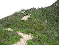
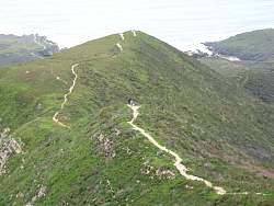
Valencia Peak
|
|
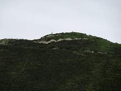 |
The top of Valencia Peak. I guess the call it that because people 'peak' over the edge ;-)
|
|
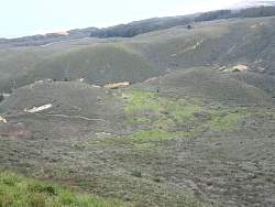 |
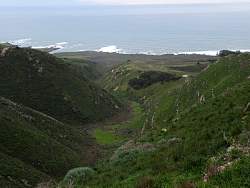
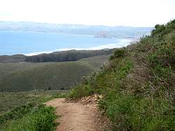
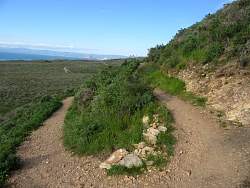
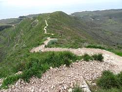
View of the Reservoir Flat Trail loop
|
|
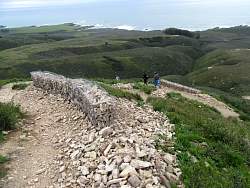 |
Walls to keep people from cutting the switchbacks.
|
|
|
|
|
|
 |
Practically every post we saw was rotted and broken off.
|
|
|
 |
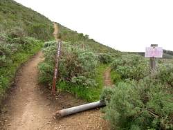
This sign was broken off and just leaning against another pole.
|
|
|
|
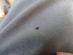 |
You need to be vigilant. This was the only one I found.
|
|
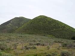 |
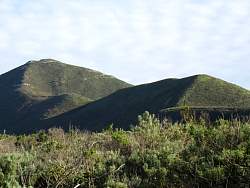
Looking back up at the Valencia Peak Trail. The peak is the one on the left.
|
|
|
|
|
|
|
|
 |
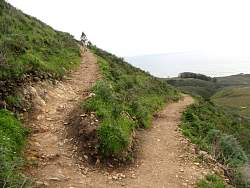
We're very close to the bottom now.
|
|
|
|
|
|
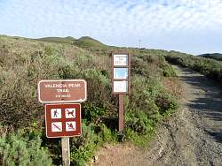 |
The trailhead at the bottom.
|
|
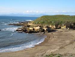 |
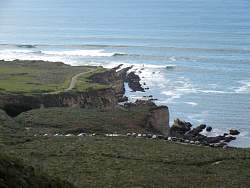
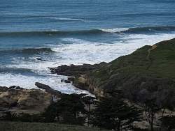
Spooner's Cove
|
|
 |
One last look at the mountain and the trail to get there.
|
|
 |
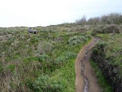
You can see that people are still climbing to the top.
|
|