Photos are from Karl, Sig, Don, Peggy and Steve. Click on an image to see it full size.
 |
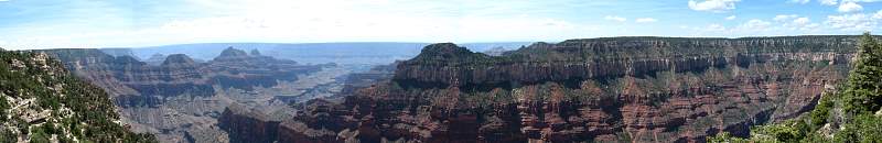
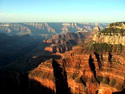
North Rim of the Grand Canyon from the top of the Kaibab Trail
|
|
 |
The North Rim, looking to the right
|
|
 |
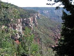
Nice cliffs down there!
|
|
 |
The view from the North Rim Lodge
|
|
 |
A model of the geological layers
|
|
 |
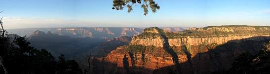
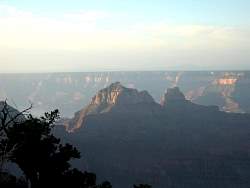
Sunset approaches on the North Rim
|
|
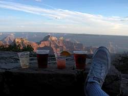 |
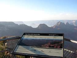
How to watch the sunset from the North Rim Lodge
|
|
 |
The last of the sun
|
|
 |
Sunrise on the North Rim
|
|
 |
Looking to the right at sunrise from the North Rim Lodge
|
|
|
|
|
|
|
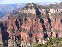 |
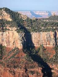
You can really see the rock layers here
|
|
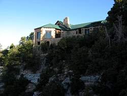 |
The North Rim Lodge perched on the edge of the Grand Canyon
|
|
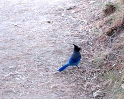 |
This little fellow wouldn't hold still for his picture
|
|
 |
The lounge in the North Rim Lodge
|
|
 |
The North Rim Lodge dining room
|
|
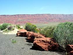 |
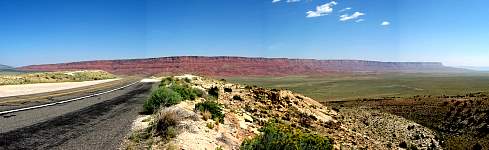
Between the north rim and the south rim are the Vermillion Cliffs
|
|
 |
After the view of the Vermillion Cliffs is the historic Navajo Bridge
|
|
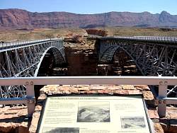 |
To the right is the new bridge for vehicles; the original bridge is on the left and is only for foot traffic now.
|
|
|
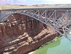 |
The Navajo Bridge spans the Colorado River at the north-east edge of the Grand Canyon National Park and the south-west corner of the Glen Canyon National Recreational Area and Lake Powell
|
|