 |
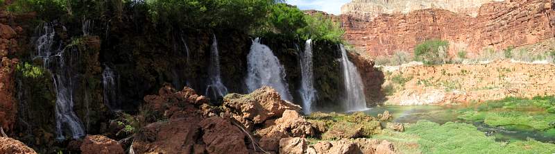
New, unnamed falls on Havasu Creek in the Havasupai Indian Territory
|
|
 |
Havasu Creek in the Havasupai Indian Territory
|
|
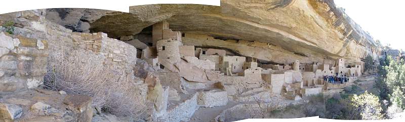 |
Cliff Palace at Mesa Verde National Park
|
|
 |
Cliffs just north of Mexican Hat, Utah
|
|
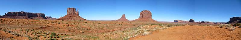 |
Monument Valley from near the entrance. Left to right: Sentinal Mesa, West Mitten Butte, East Mitten Butte, Merrick Butte (just right of center), Spearhead Mesa, Elephant Butte, Camel Butte, Rain God Mesa, Mitchell Mesa (right edge). Or something like that!
|
|
 |
Monument Valley from somewhere along the Valley Road.
|
|
 |
Looking south to Monument Valley from Hwy 163
|
|
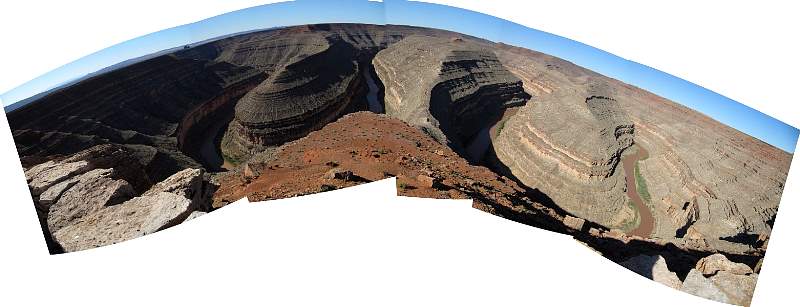 |
Goosenecks State Park, Utah
|
|
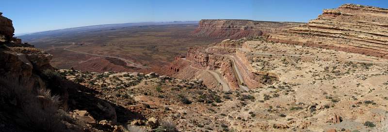 |
The Moki Dugway on Rte 261 in Utah. This part of the highway was gravel but the rest of it was paved.
|
|
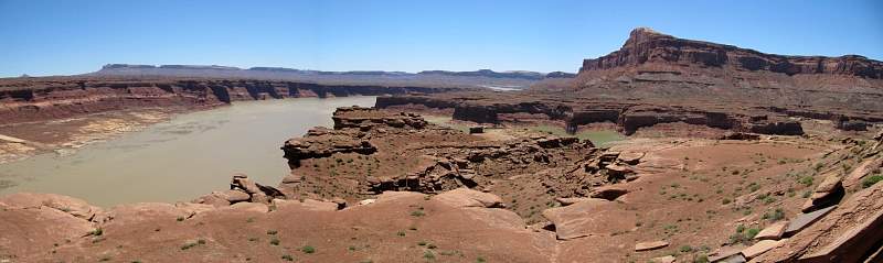 |
Looking south over Lake Powell from an overlook on Rte 95 in Utah.
|
|
 |
Along Burr Trail Road in Utah, approaching Capital Reef National Park from the west.
|
|
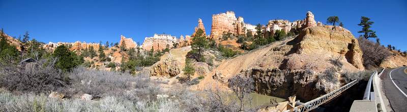 |
The eastern edge of Bryce Canyon National Park, along Rte 12 in Utah.
|
|